IF TWO ARE DEAD Locations Today
Locales
of Saint Eustatius and Saint Christopher
Click on thumbnails for full-size
|
|
|
|
|
|
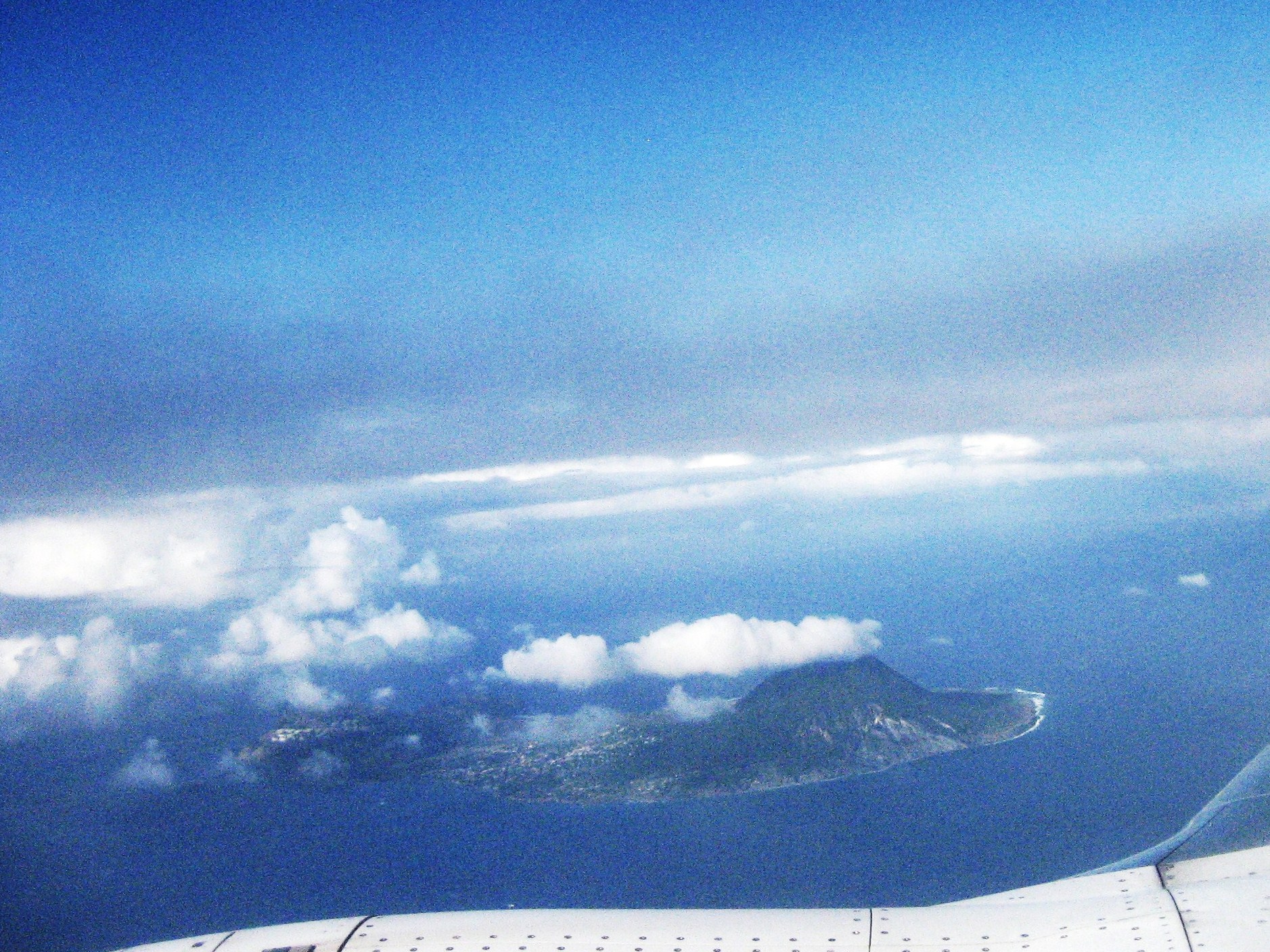
St. Eustatius island,
viewed from the air from the southwest. Oranjestad is at the near center;
“The Quill” is to the right. |
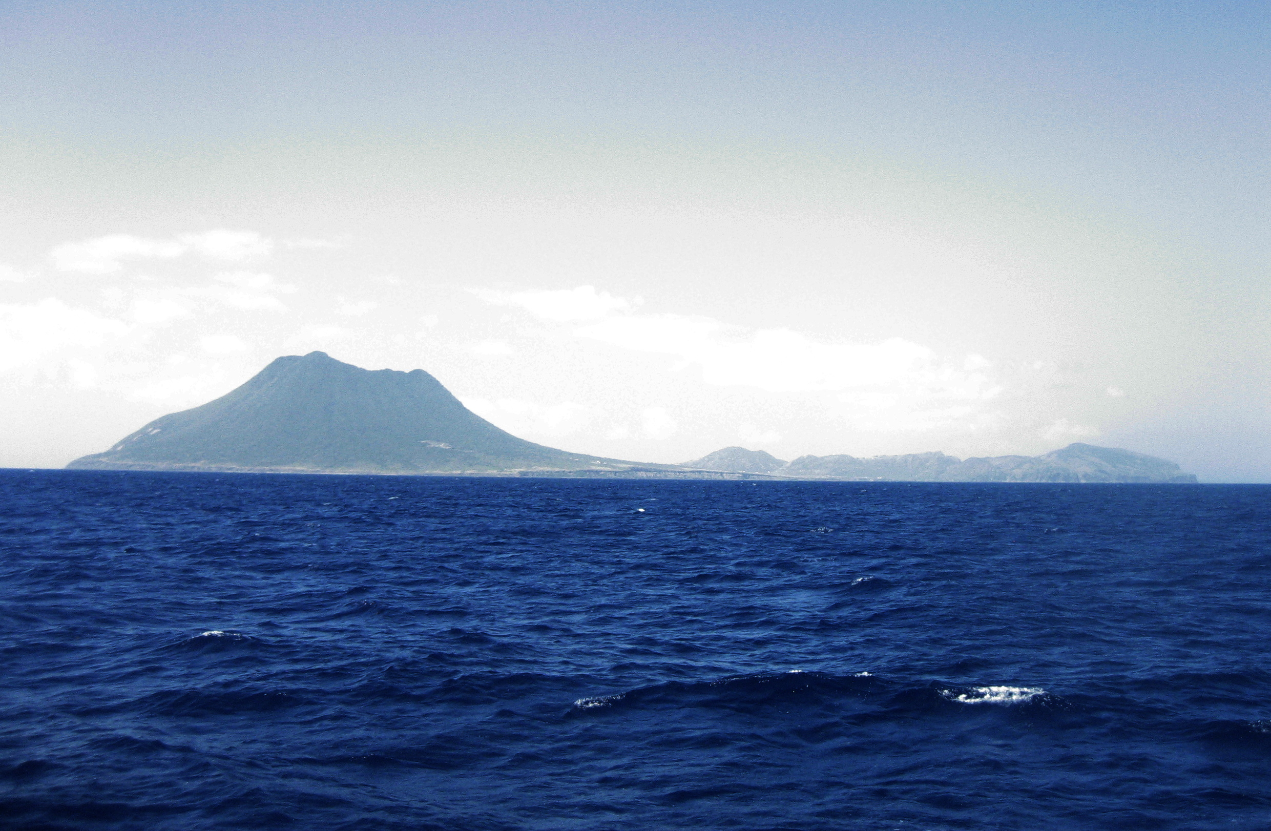
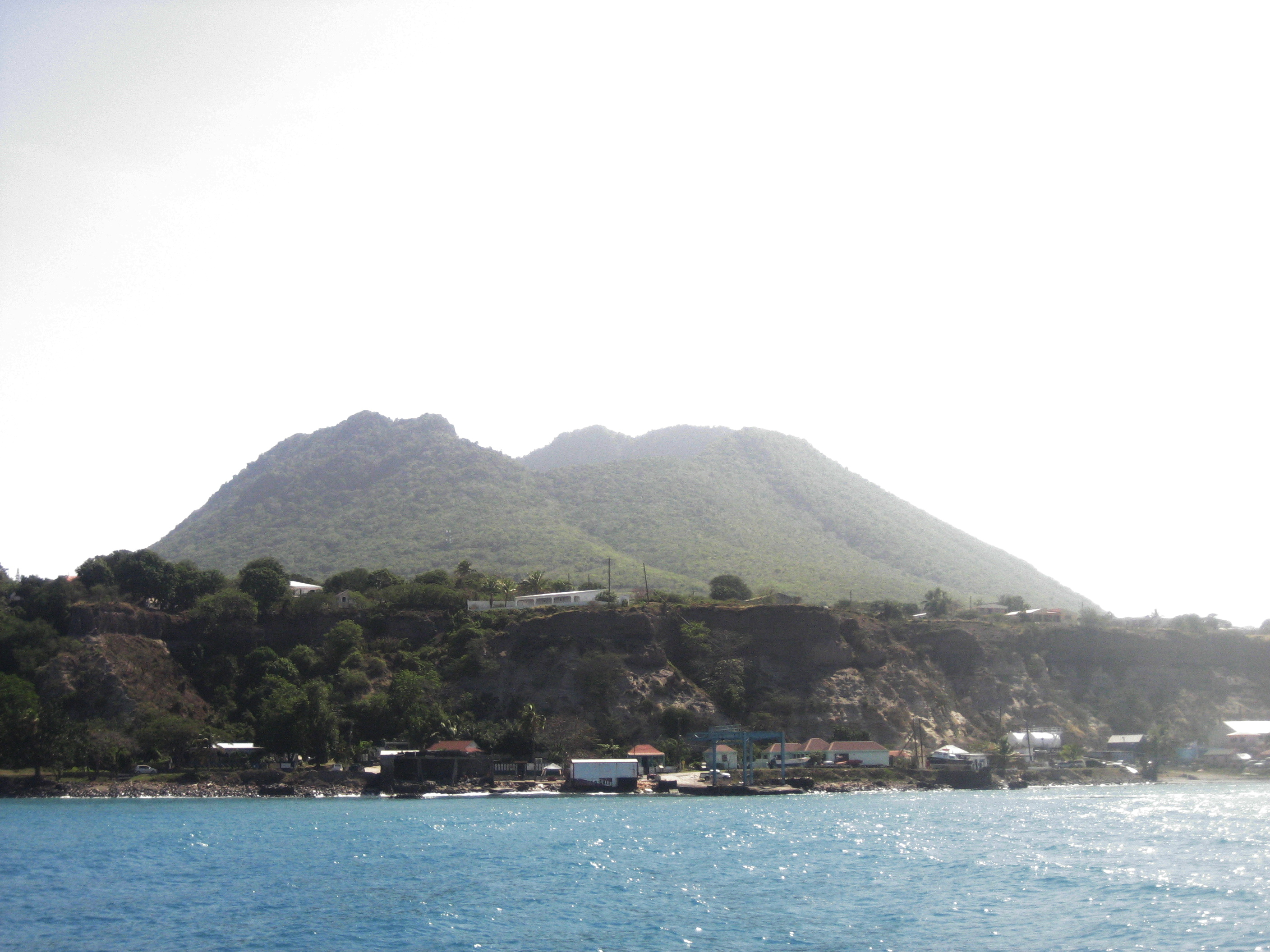
This is the east
coast of “Statia” as viewed from the water, about five miles distant.
Oranjestad is on the far (leeward) side of the low middle saddle. |
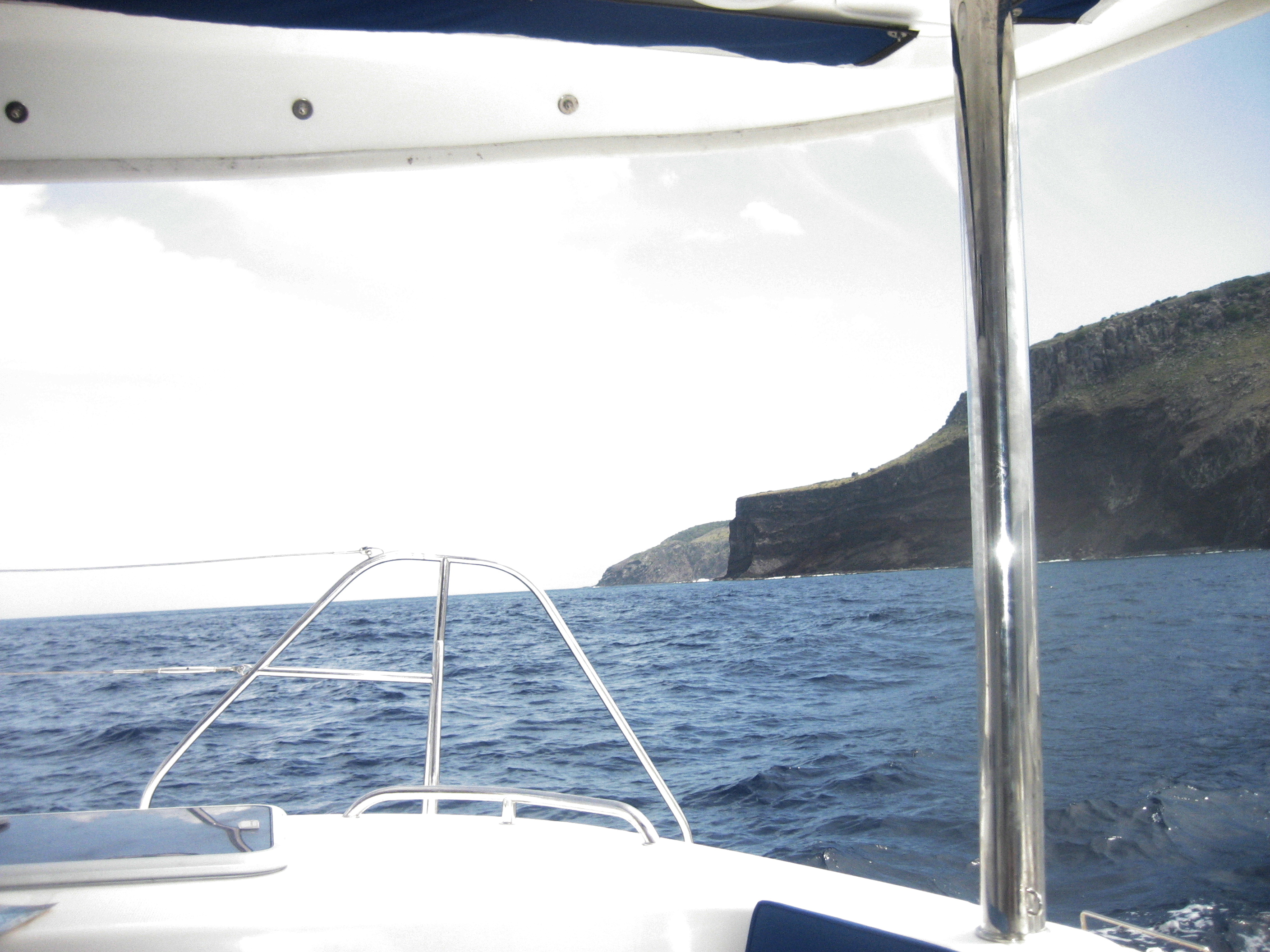
The northwest corner
of St. Eustatius. The author was departing, northbound, here; Oranjestad is
three miles back and to the right. |
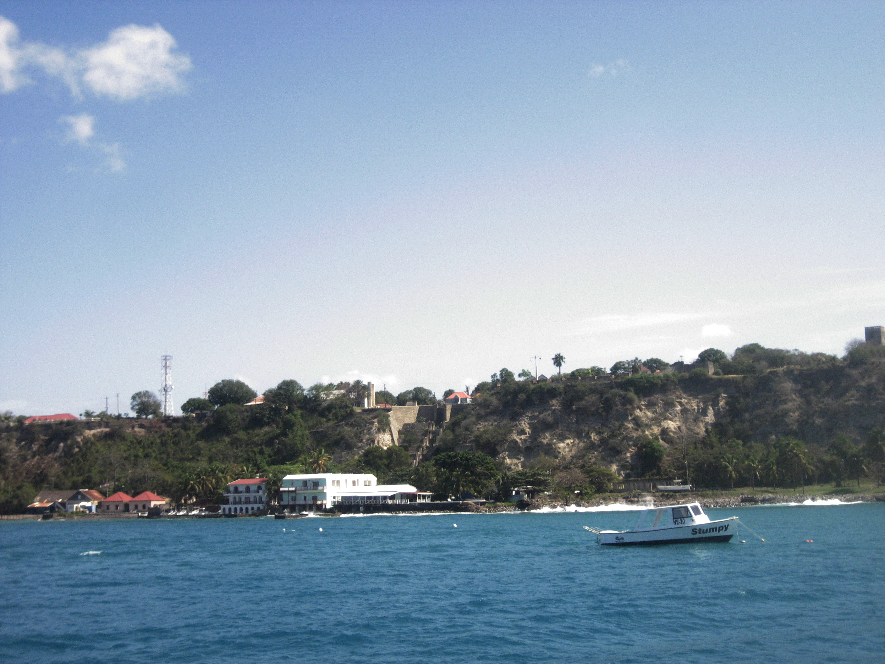
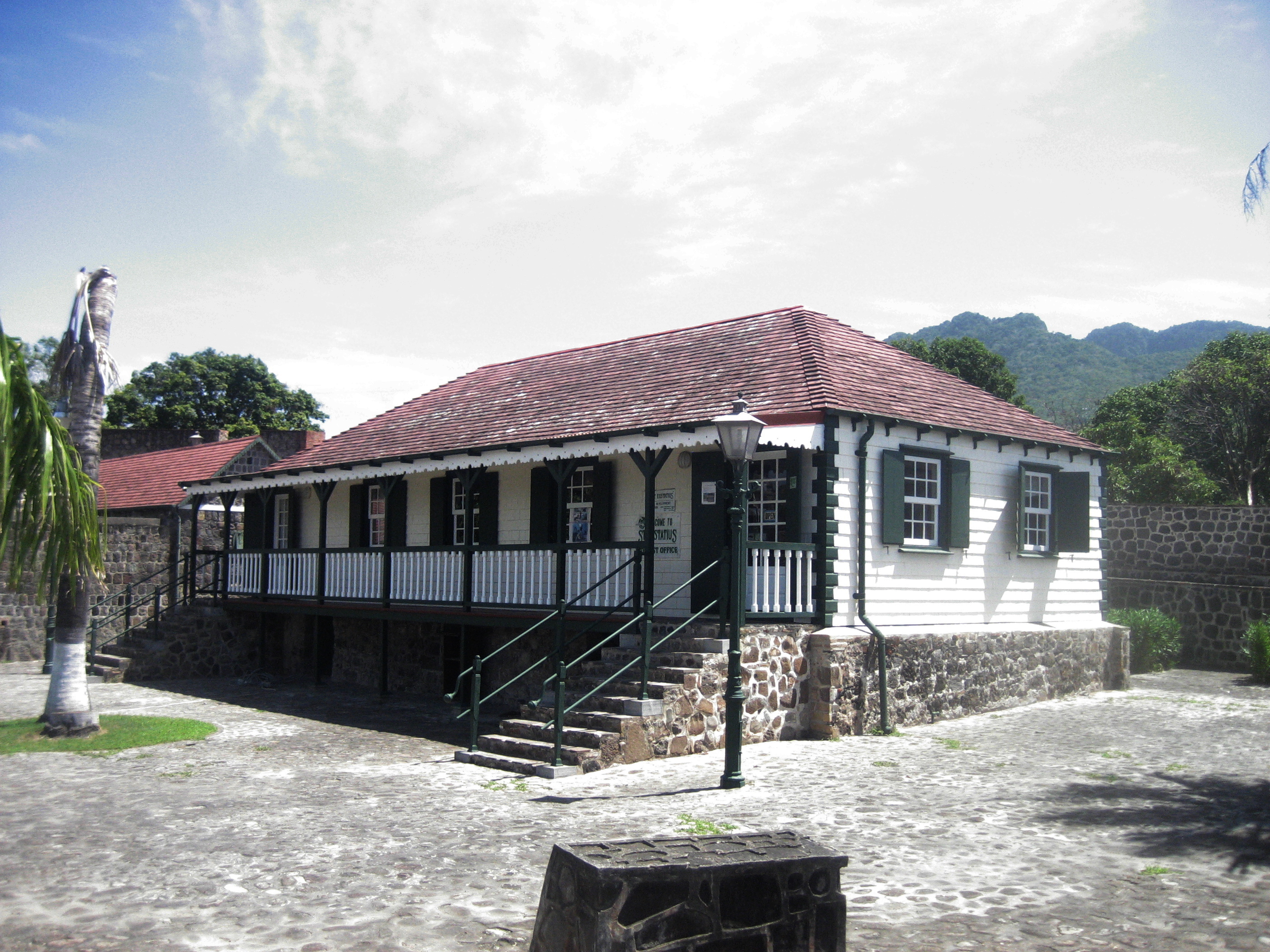
Oranjestad’s two
levels today. Ruins of the great mercantile warehouses are discernable on the
shoreline. |
|
|
|
|
|
|
The road from the
lower to the upper town extends from the extreme left up to the fort (above
the white building, center). |
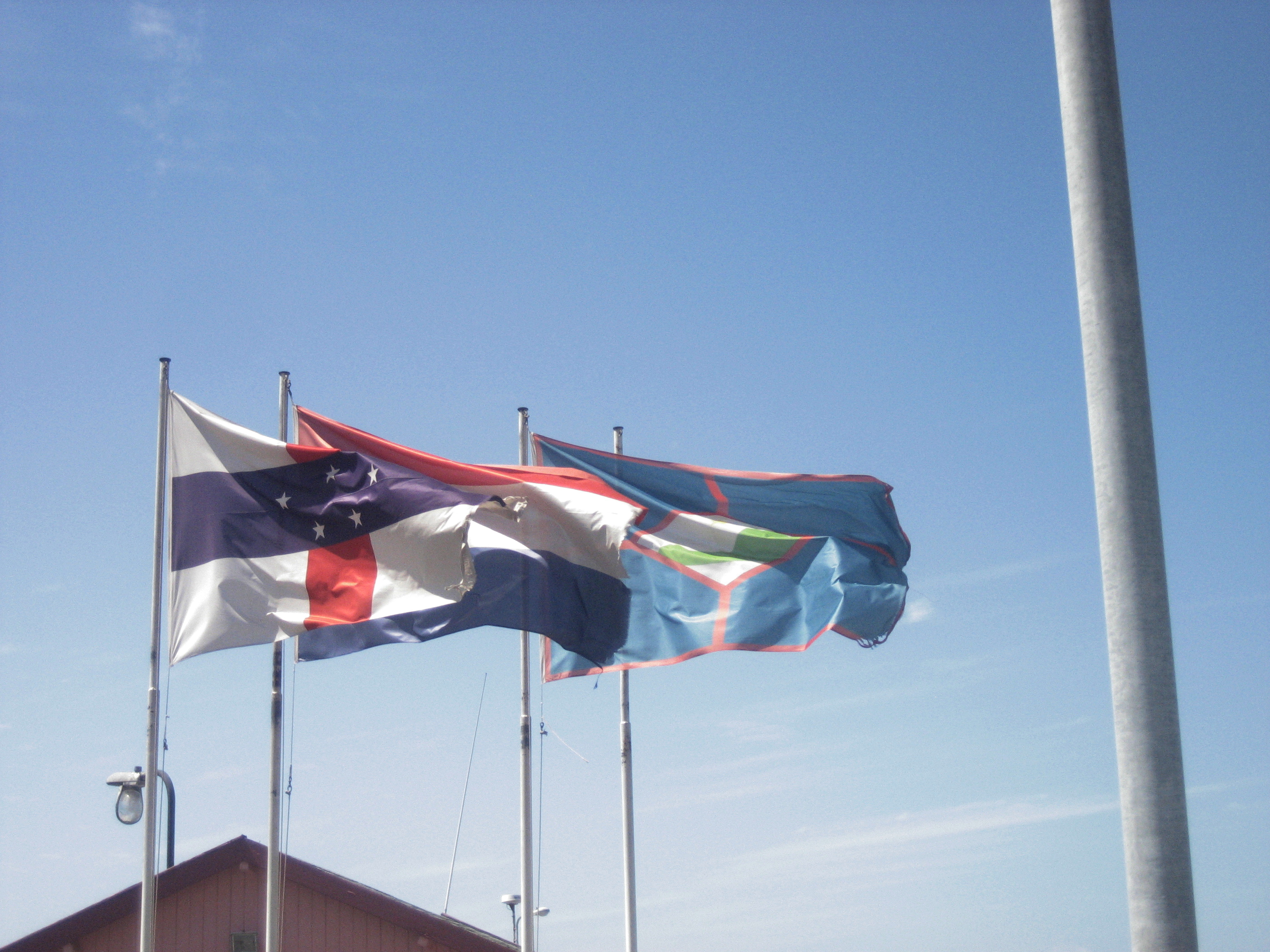
Flags of three
concurrent jurisdictions greet the visitor. |
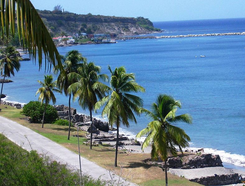
A stock photo of the
shore ruins seen from the south. |
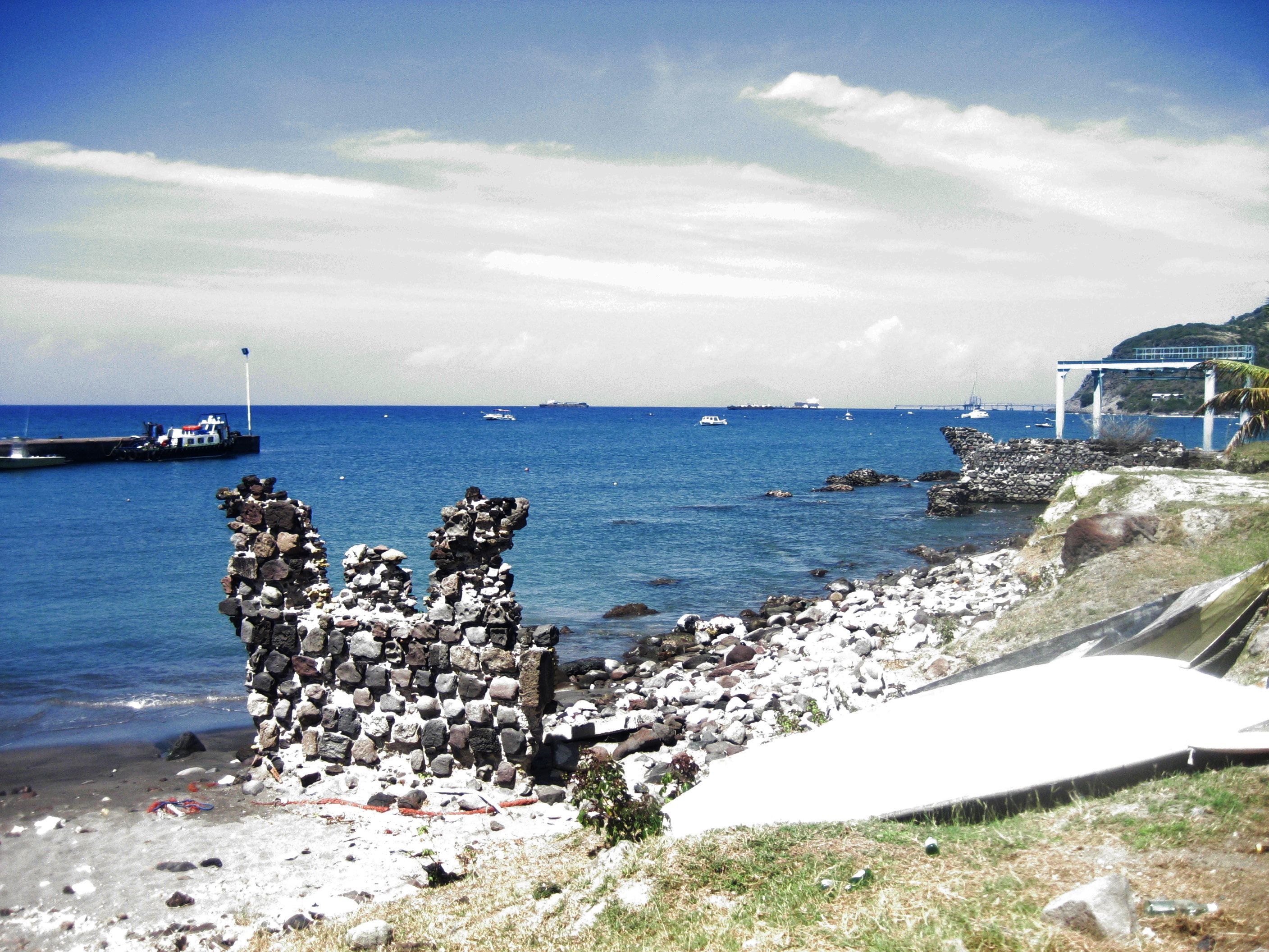
Warehouse ruins
along the shore. At left, the modern mole. |
|
|
|
|
|
|
More ruins. Just to
the left of the Travelift is the catamaran that brought your author to the
island. |
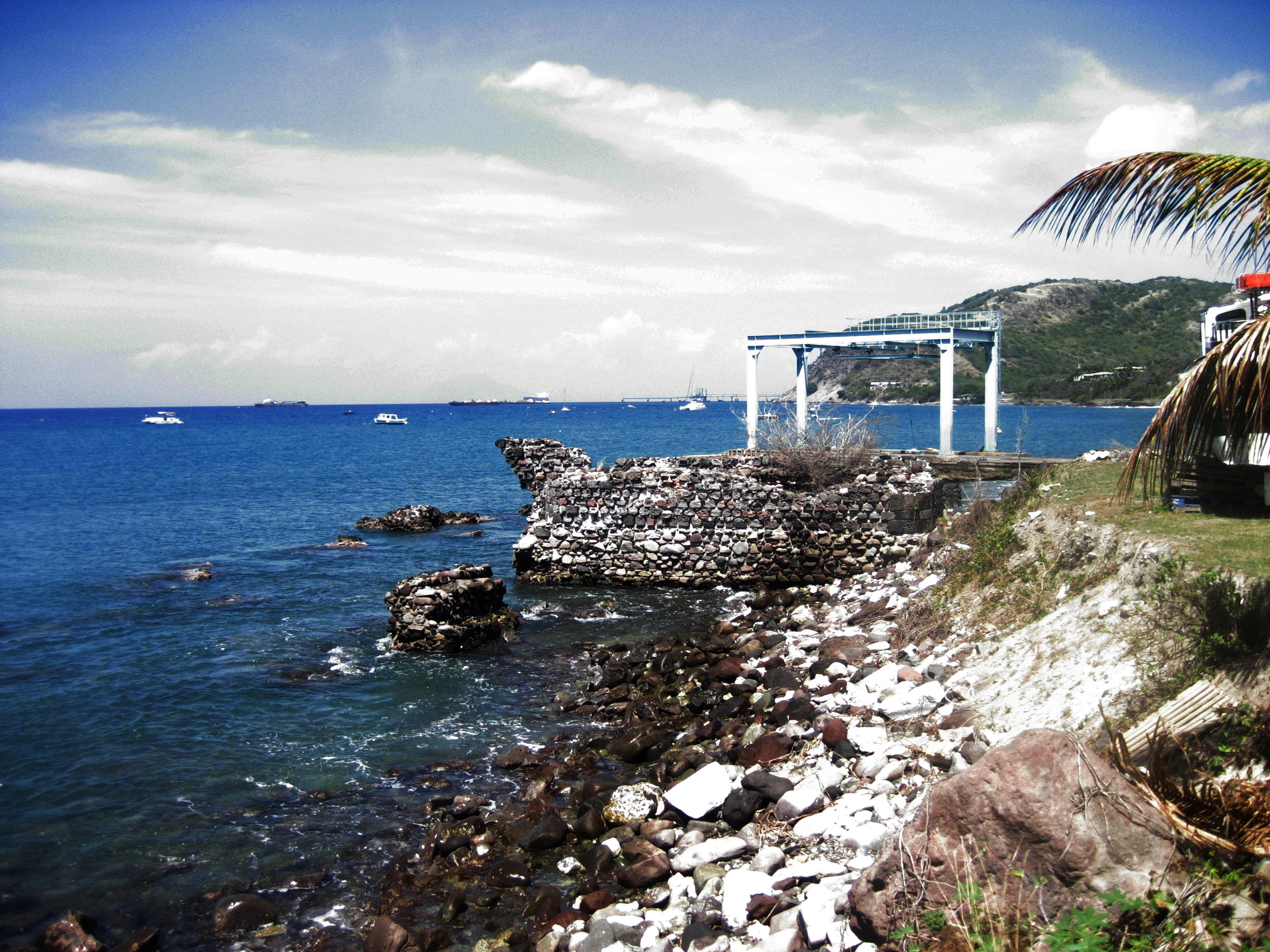
In the distance, the
source of such prosperity as Statia knows today: the island is now the main
distribution center for the area’s petroleum needs. |
Not quite visible to
the north are the remains of the slave market, where thousands would have
been imprisoned as they recuperated from the Middle Passage. |
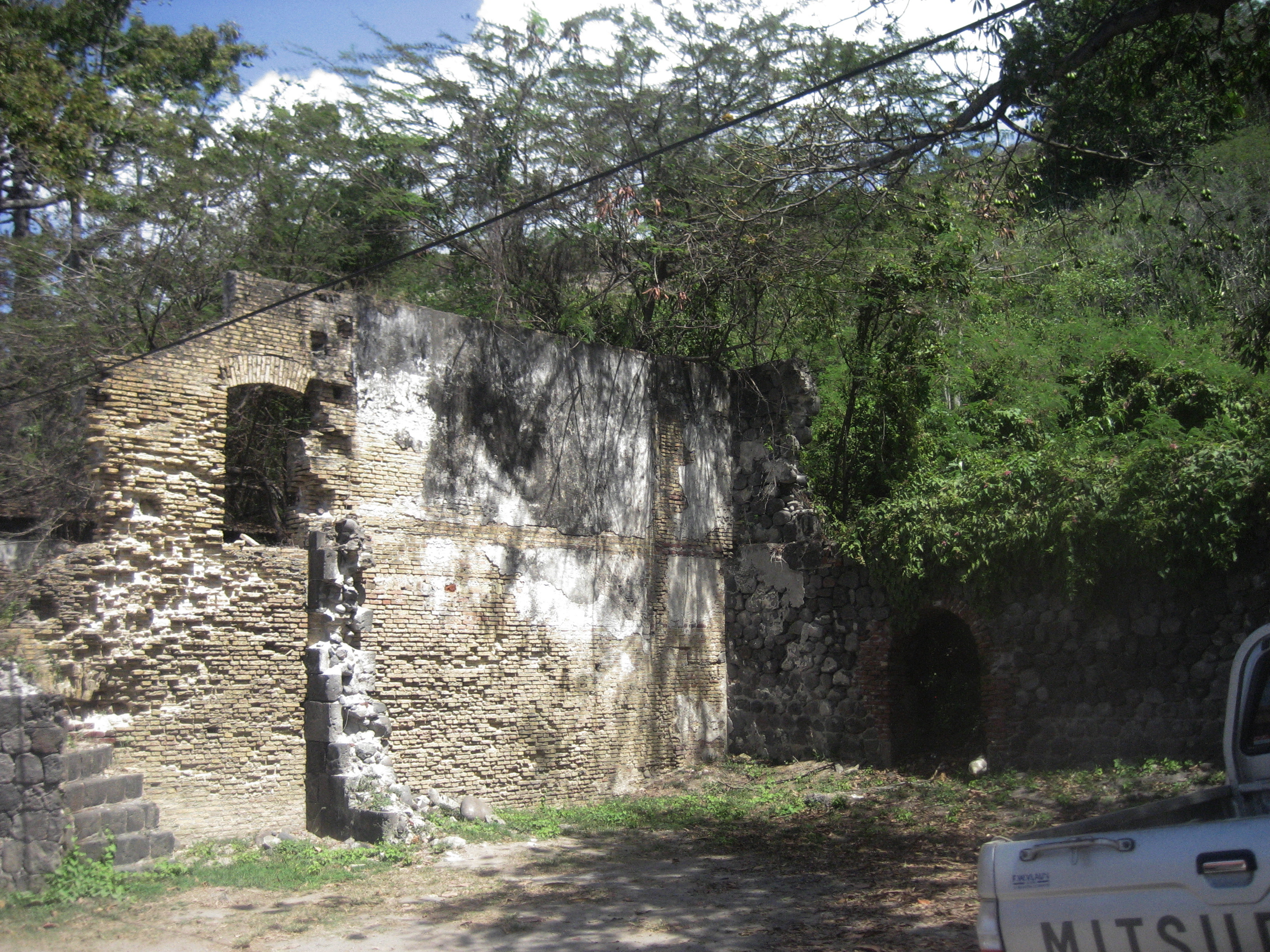
Remains of a house
on the landward side of the lower town. |
|
|
|
|
|
|
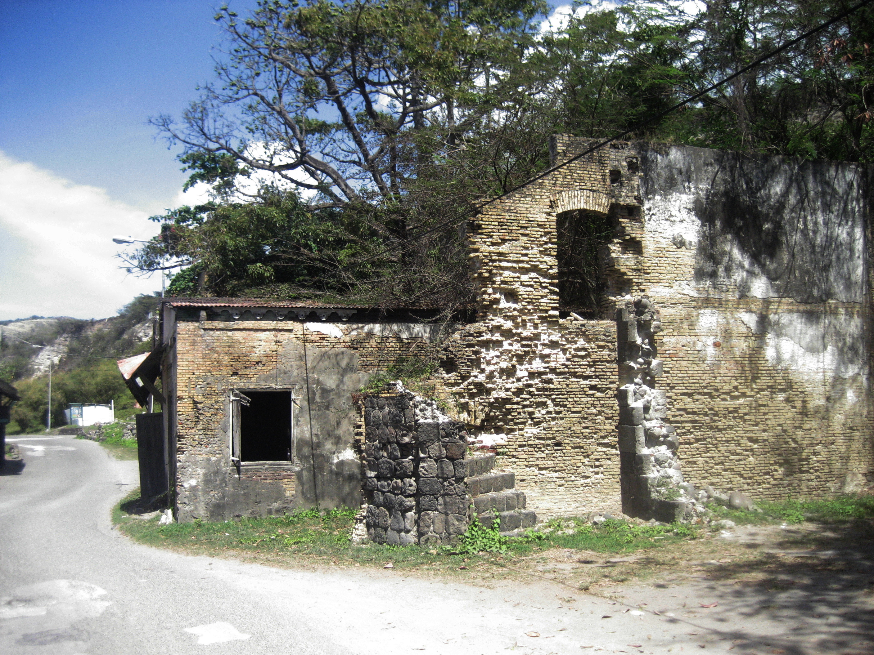
The road, to the
left of the preceding. Unfortunately not pictured: immediately to the left of
the road is the shore. The teeming lower town was two buildings and one road
in depth. |
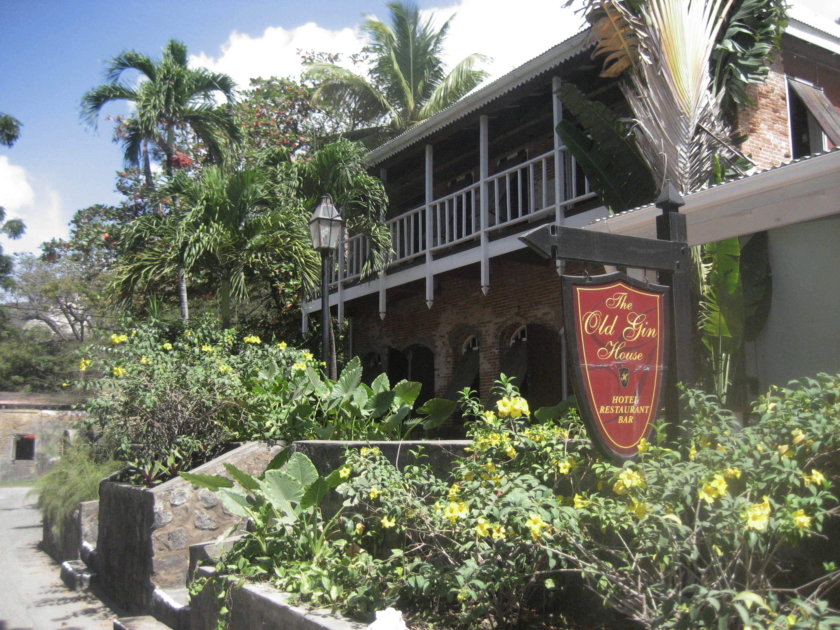
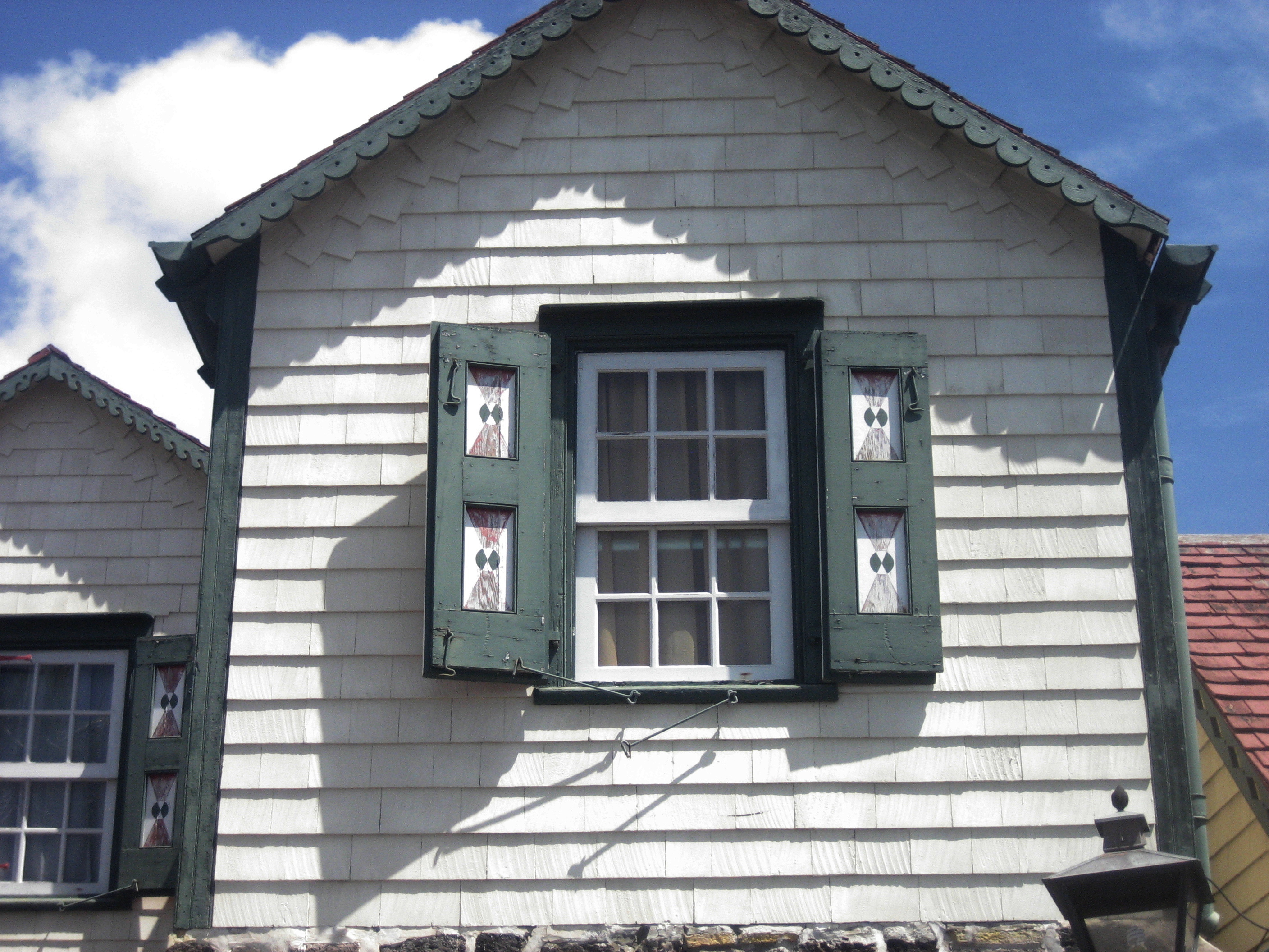
The “Old Gin House”
is a modern structure apparently built on top of an old foundation. |
The road that climbs
from the lower to the upper town provides “good exercise” for tourists. It
was carved out early on—doubtless by slave labor. |
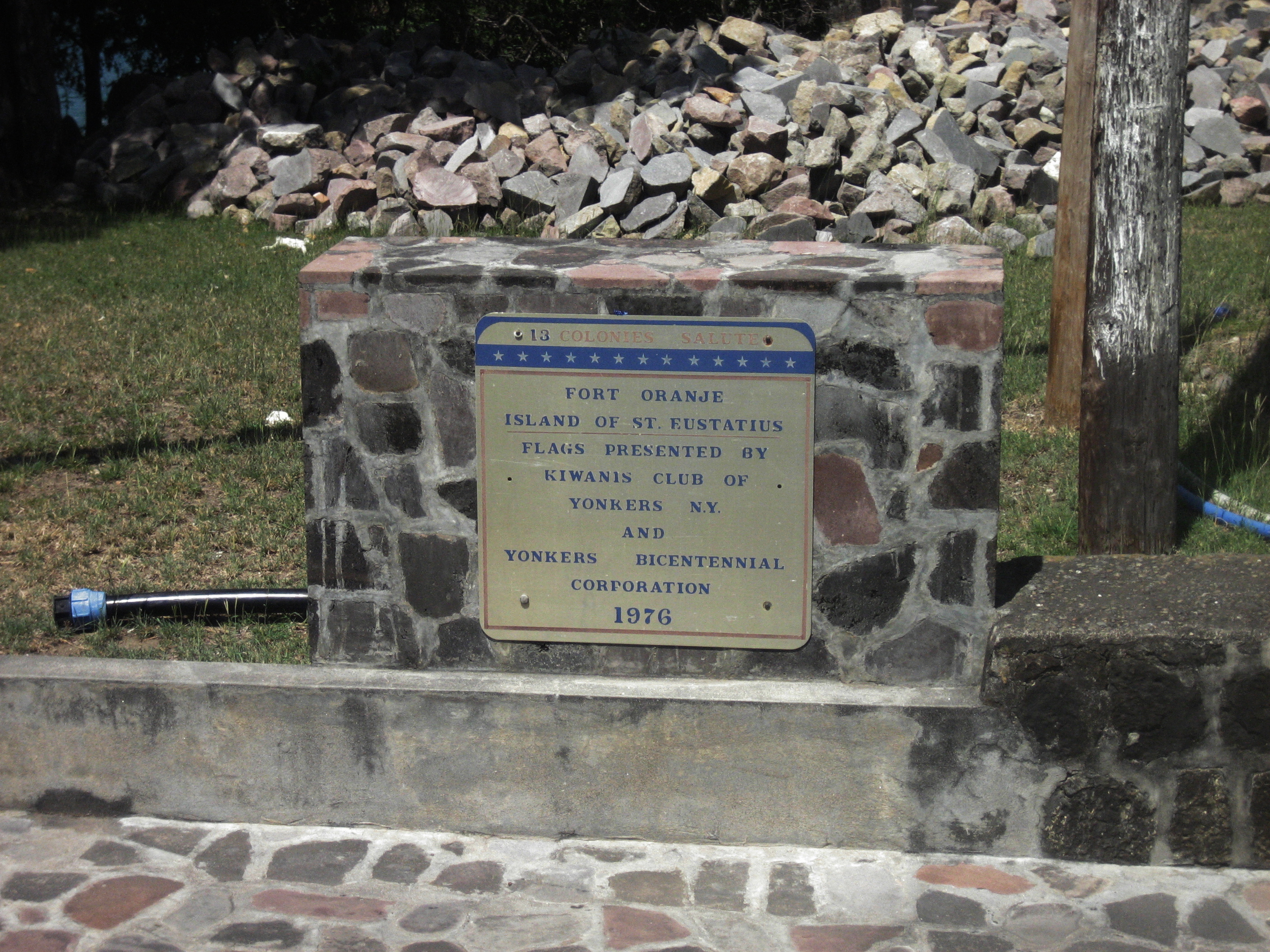
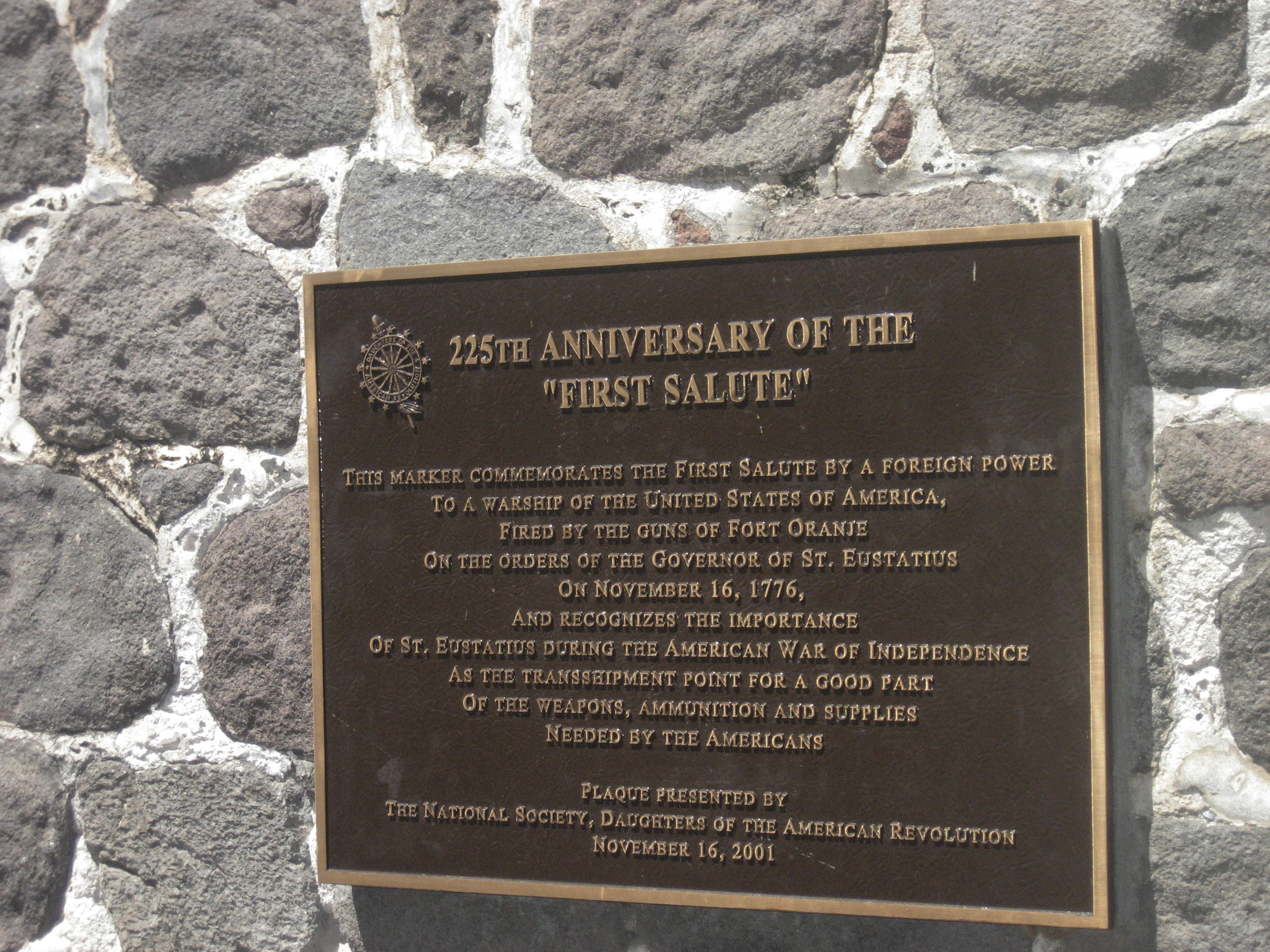
An unexpected
plaque! |
|
|
|
|
|
|
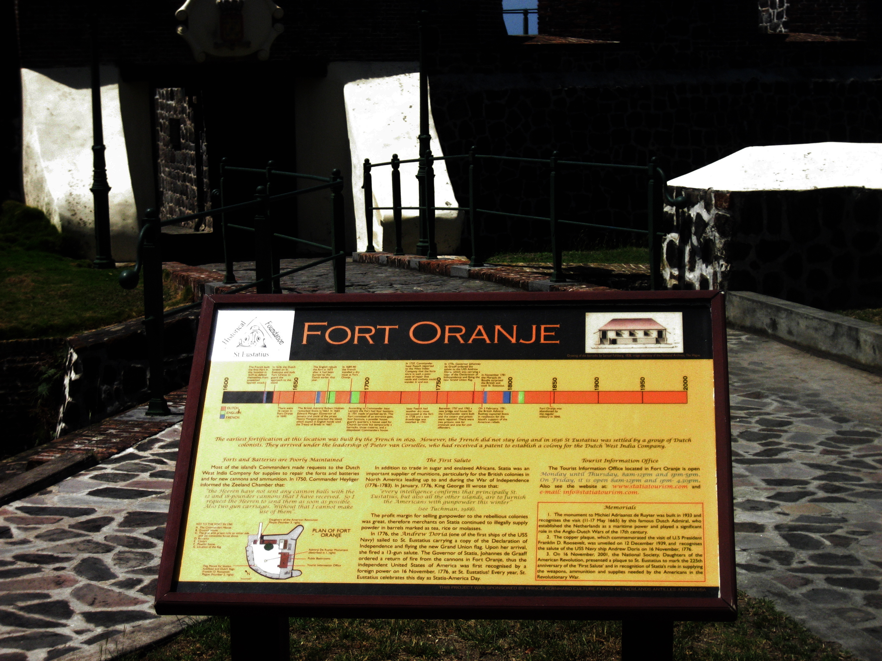
An informative
tablet at the fort in the upper town has a timeline that shows many periods
of English (blue) and French (green) domination. |
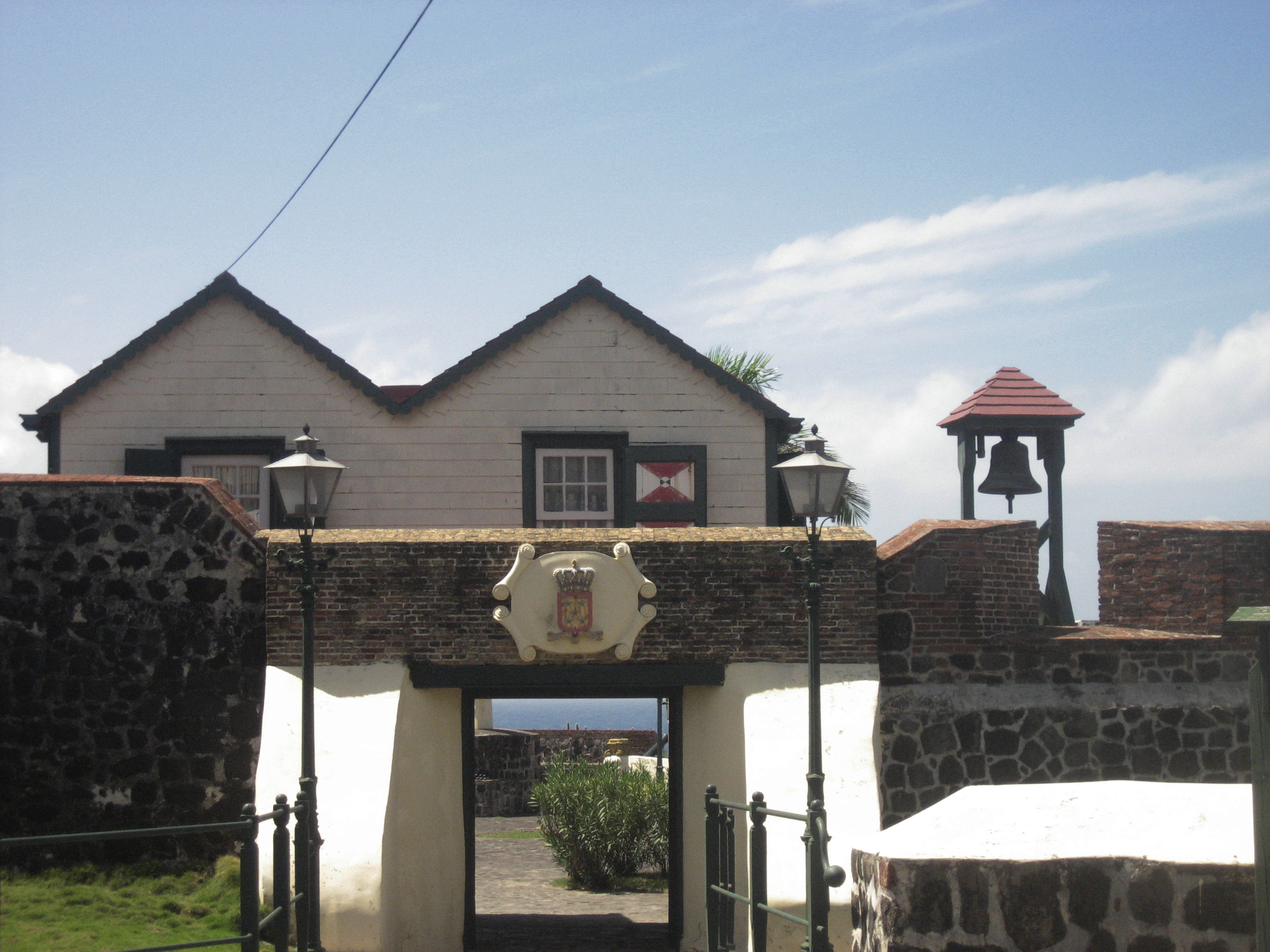
Entrance to the
fort. Statia, like all the other islands in the chain, was much contested for
over two centuries. |
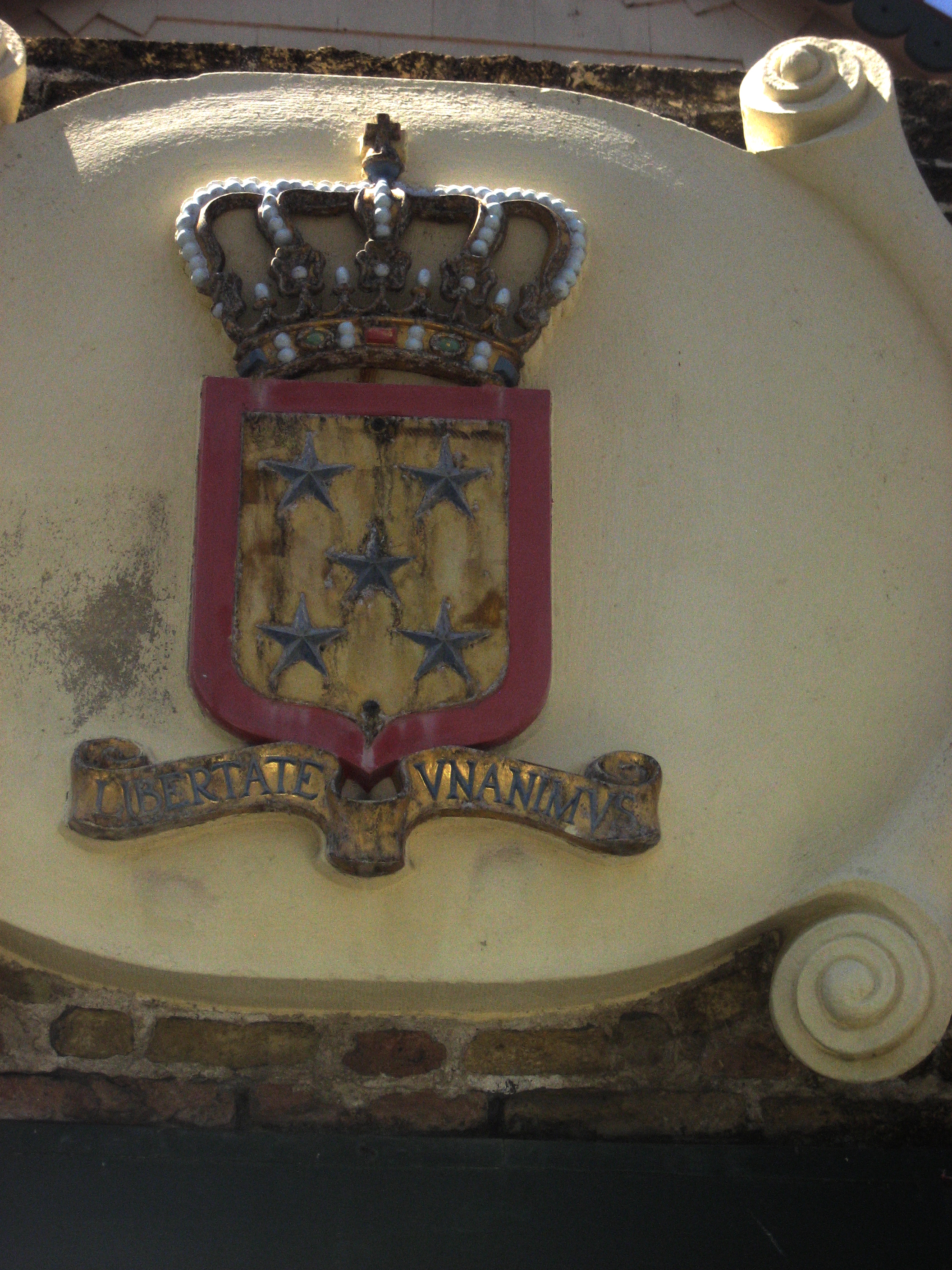
Shield over the
fort’s entry way. |
Plaque commemorating
“The First Salute,” a diplomatic bonus for the new USA that cost St.
Eustatius dearly. |
|
|
|
|
|
|
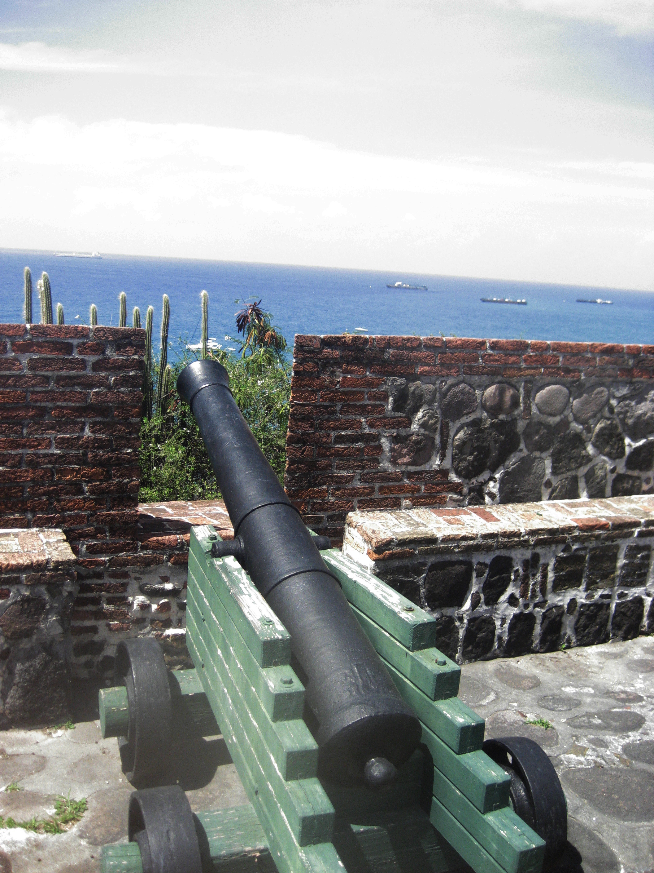
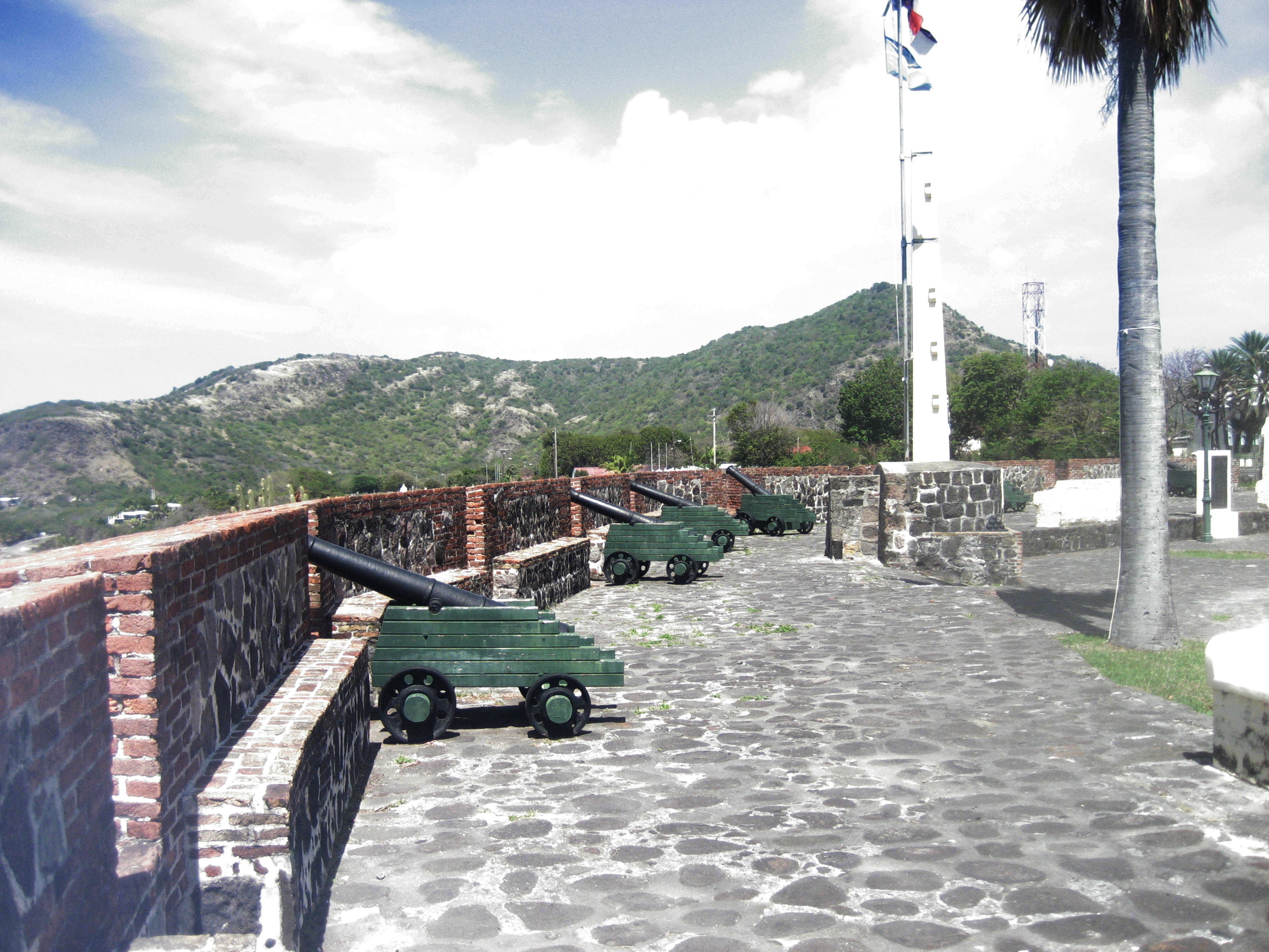
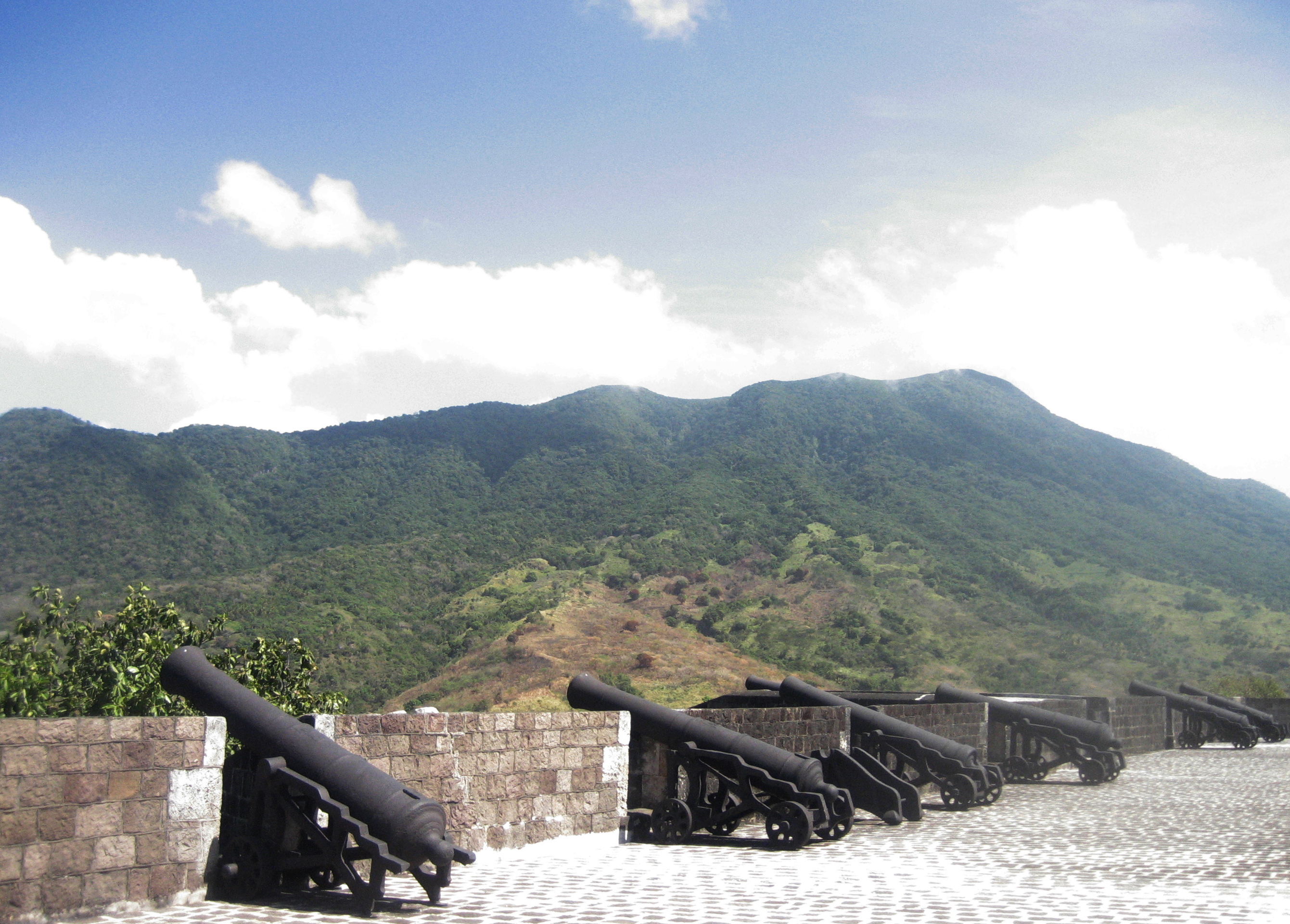
Guns protecting the
harbor. The white boat behind the cactus is the catamaran on which your
author arrived. |
Compare these cannon
to those on St. Kitts (below). |
The fort’s main
building. |
Fun architectural
elements. |
|
|
|
|
|
|
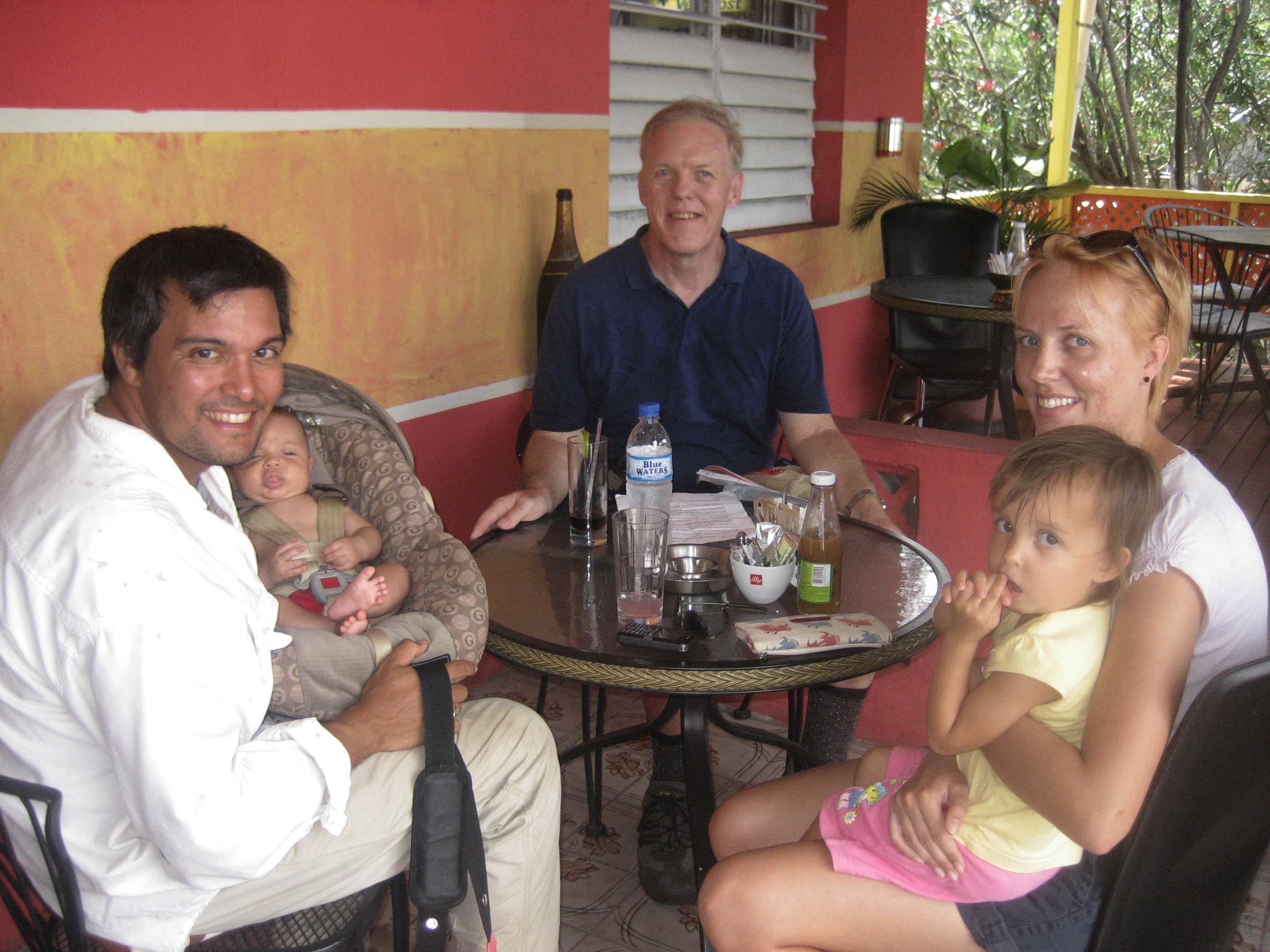
The author met too
briefly with Statia’s chief archaeologist, Dr. Grant Gilmore, and family. |
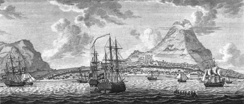
18th
Century sketch of commercial shipping in Oranjestad harbor. Note rowboats
conveying people from one ship to another (not to the shore). |
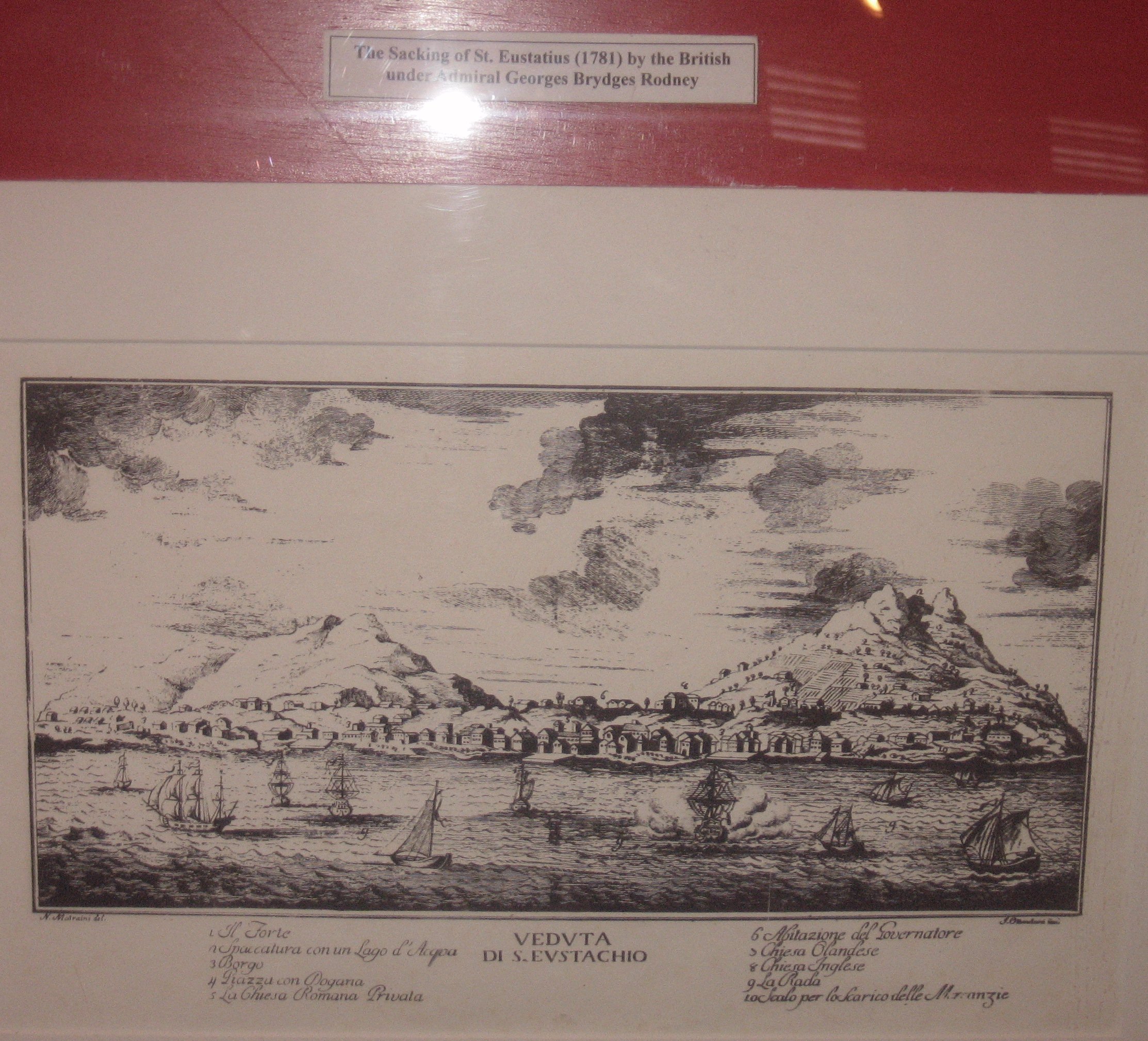
In 1781, soon after the
worst Atlantic hurricane on record, Admiral Rodney pillaged and devastated
Statia again with the excuse of the Anglo-Dutch war—treating the Jewish
inhabitants with special brutality. |
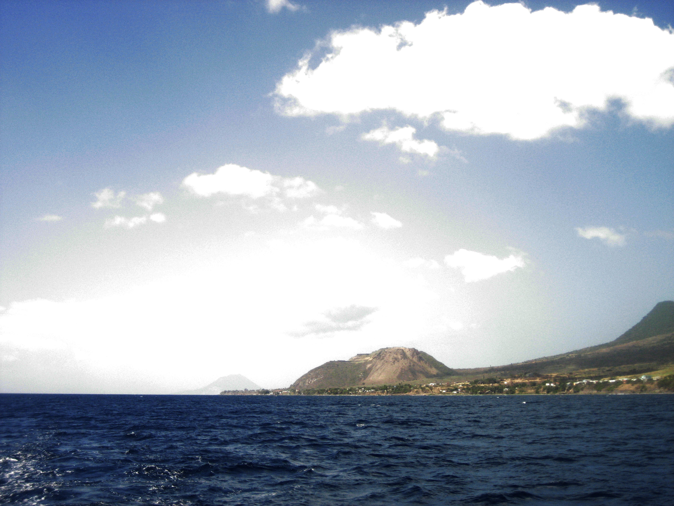
View of the leeward
coast of St. Kitts from the water at a point south of its fort. The fort is on the second
plateau, about 700 feet above the sea—one fifth of the way up the mountain. |
|
|
|
|
|
|
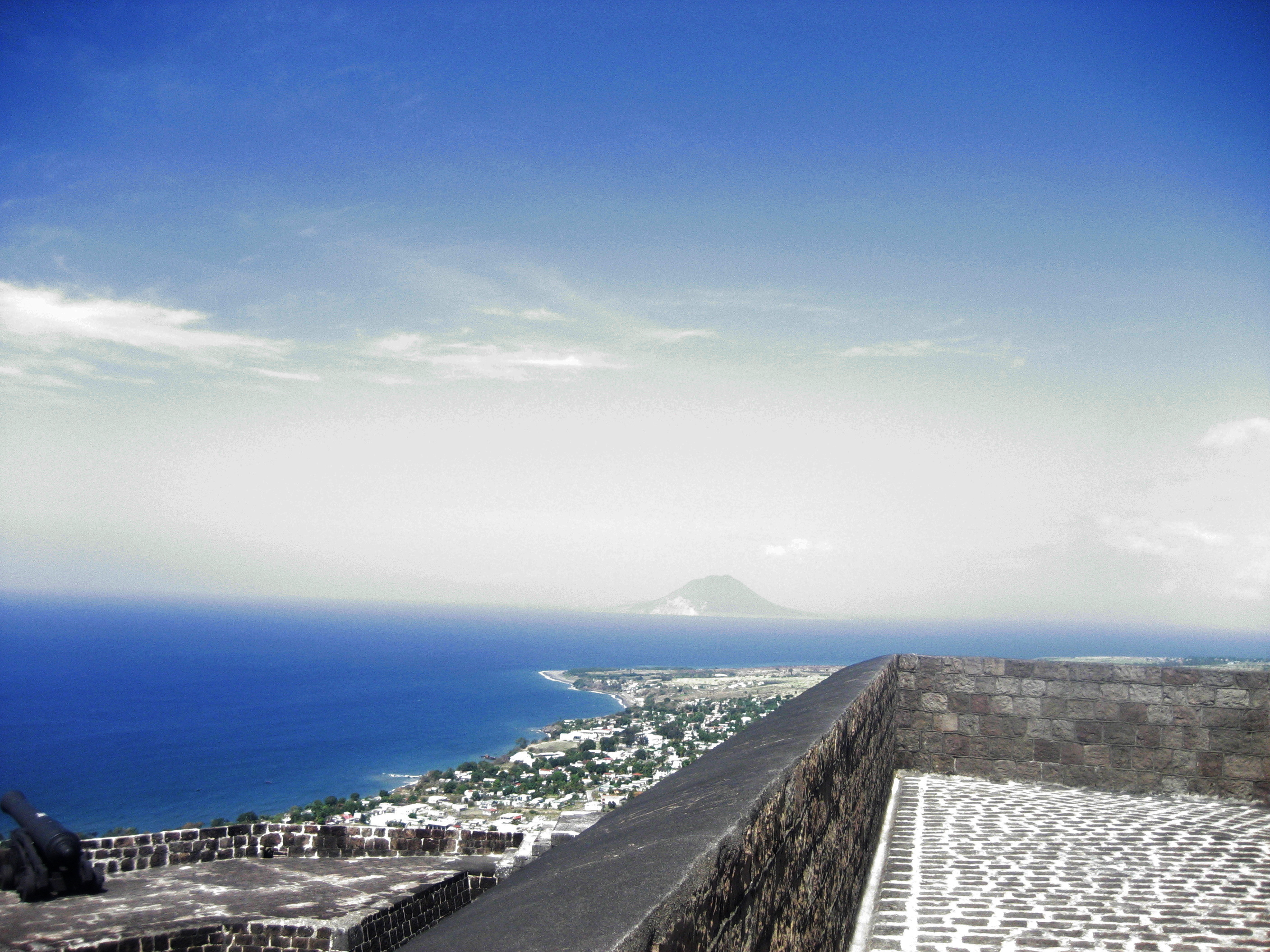
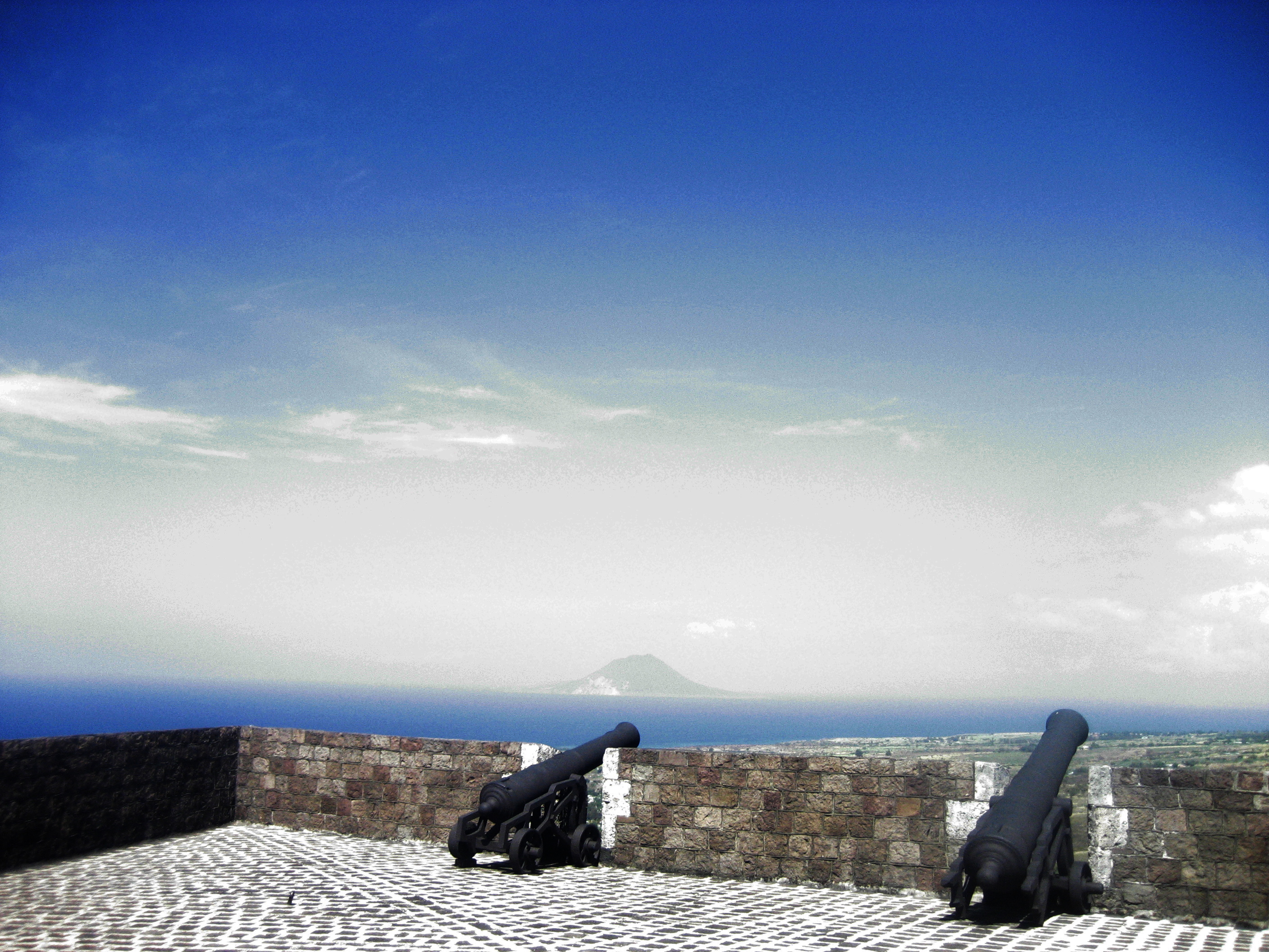
A view from the fort, facing northeast. St.
Eustatius looms in the background, approximately twelve miles distant. |
Brimstone Hill, St.
Kitts, has been fortified since 1690. The fort was constructed—largely by
slave labor—over a century. |
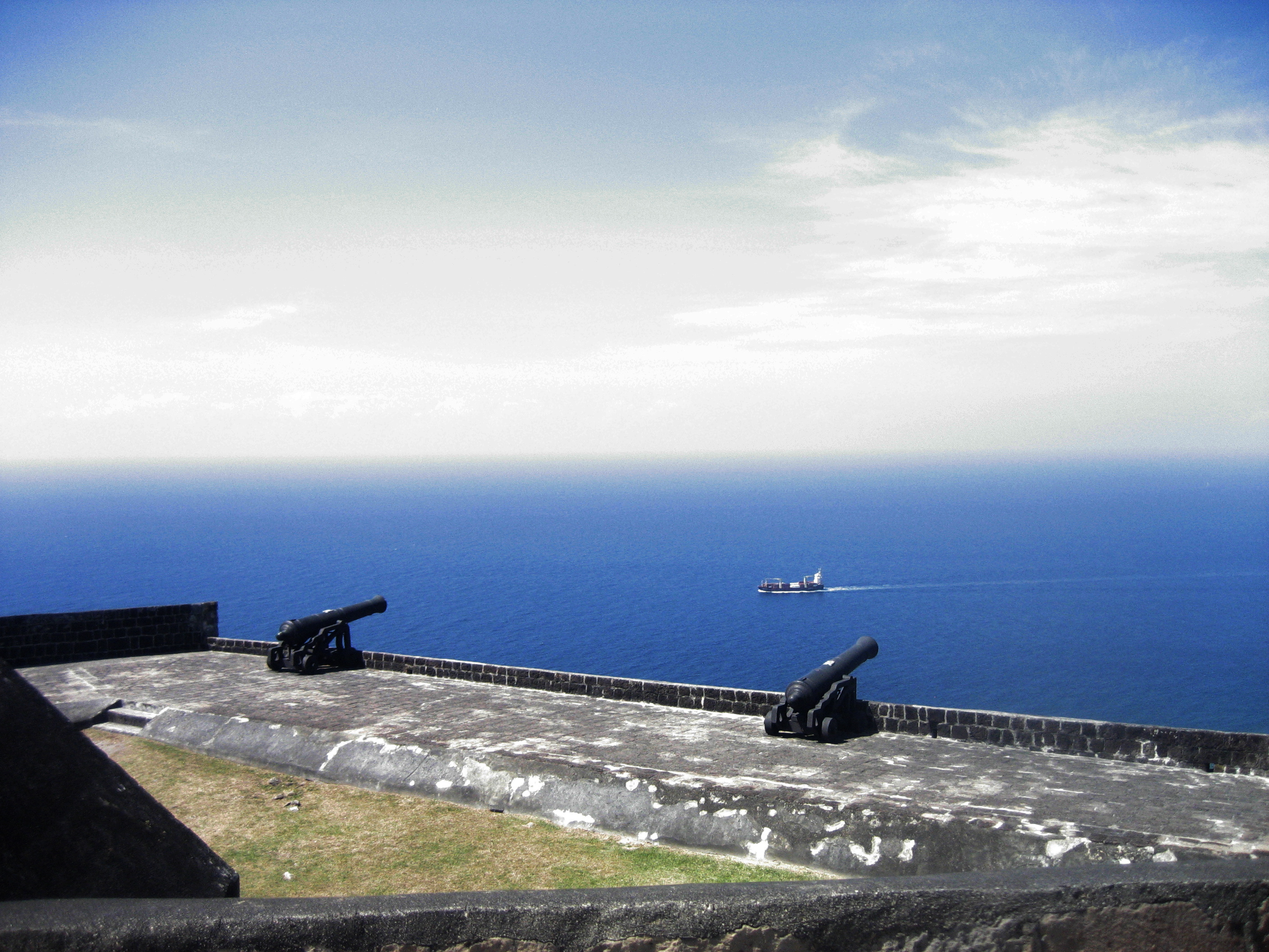
Shipping under the
gun! From this height these guns, when active, might well have reached that
vessel, two miles away. |
The cannon, far more
serious-looking than those on Statia, still didn’t prevent a French siege of 1782 from successfully
forcing Brimstone Hill’s capitulation. |
|
|
|
|
|
|
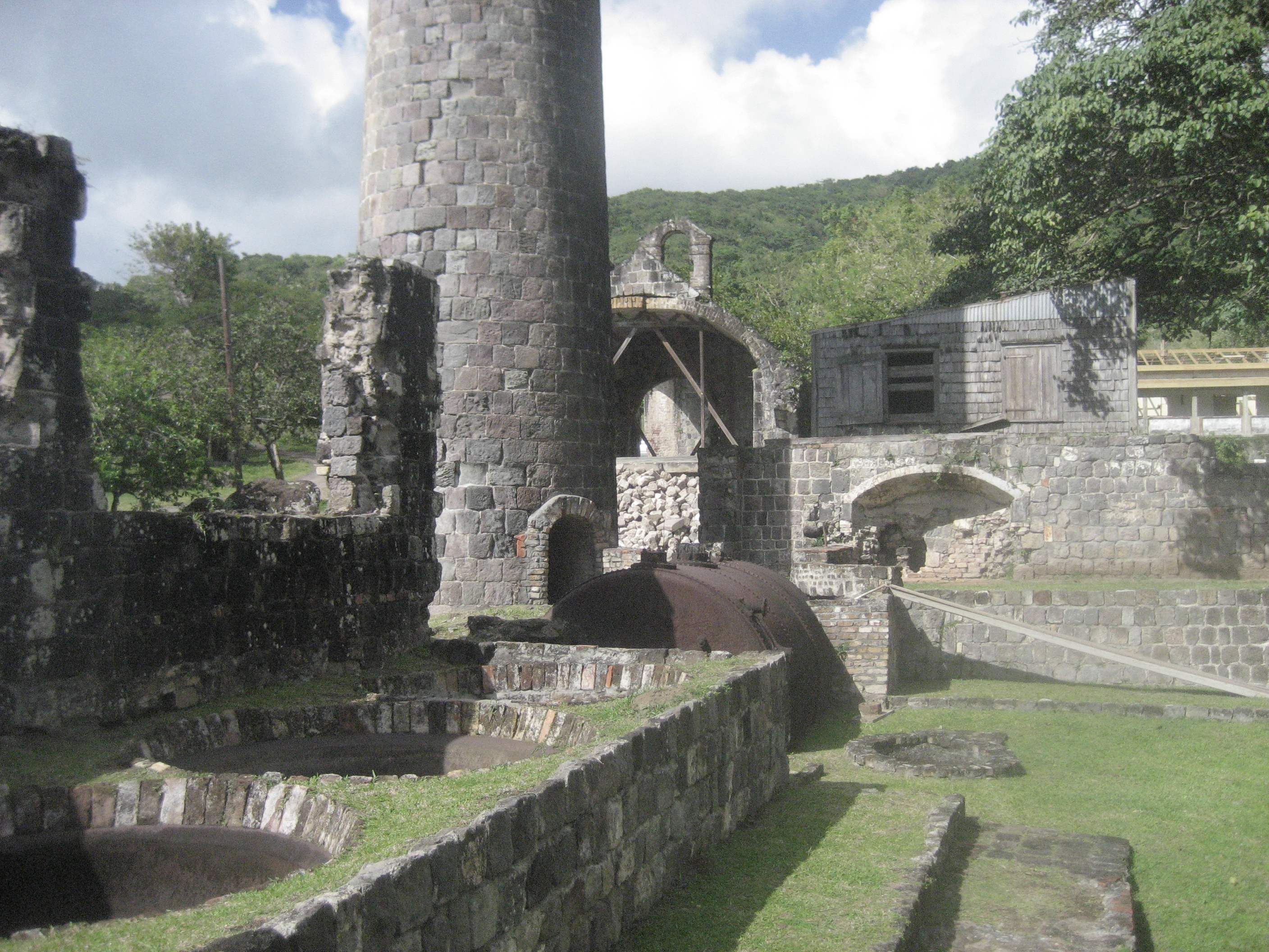
Ruins of the
Wingfield sugar plantation, not far from Brimstone Hill fort on the leeward
(west) side of St. Kitts. |
Sugar refining
requires repeated boiling procedures—hence the furnace, the smokestack, and
the enormous copper kettles. |
Like all old
structures on St. Kitts, the plantation’s were built of shaped blocks of
volcanic rock—by slave labor. |
A cistern on the plantation.
St. Kitts was far better off than water-starved St. Eustatius, but still had
to be conservative. |
|
|
|
|
|
|
Detail of the
smokestack. |
A spare sugar
kettle—big enough for a hot tub! |
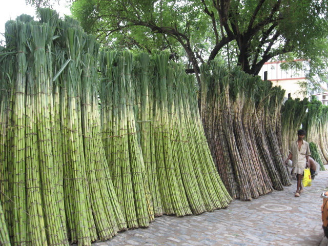
Stock photo of raw
harvested sugar cane. |
.JPG)
.JPG)
.JPG)
.JPG)
.JPG)
Links to contemporary photographs of local scenes:
Notices – Ordering – Author – Contact