IF TWO ARE DEAD Locations Today
Locales
of Sheepshead Bay, Brooklyn
Click on thumbnails for full-size
|
|
|
|
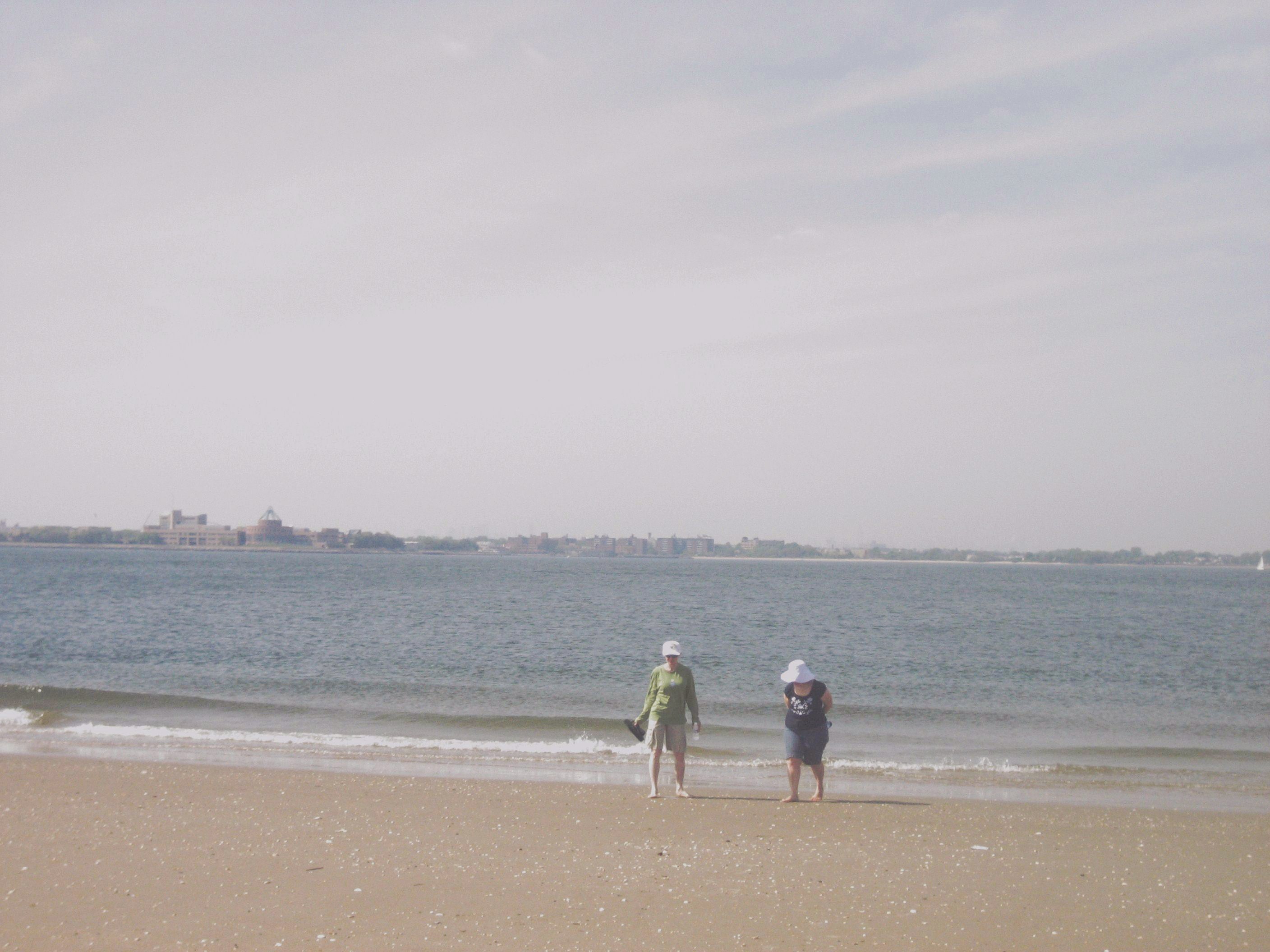
The eastern tip of
Coney Island—the entry to Sheepshead Bay—seen from the bayside beach at
Breezy Point, three-quarters of a mile away to the south. |
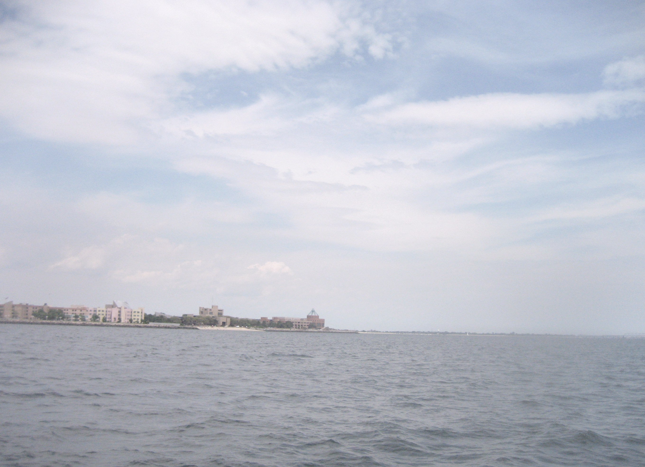
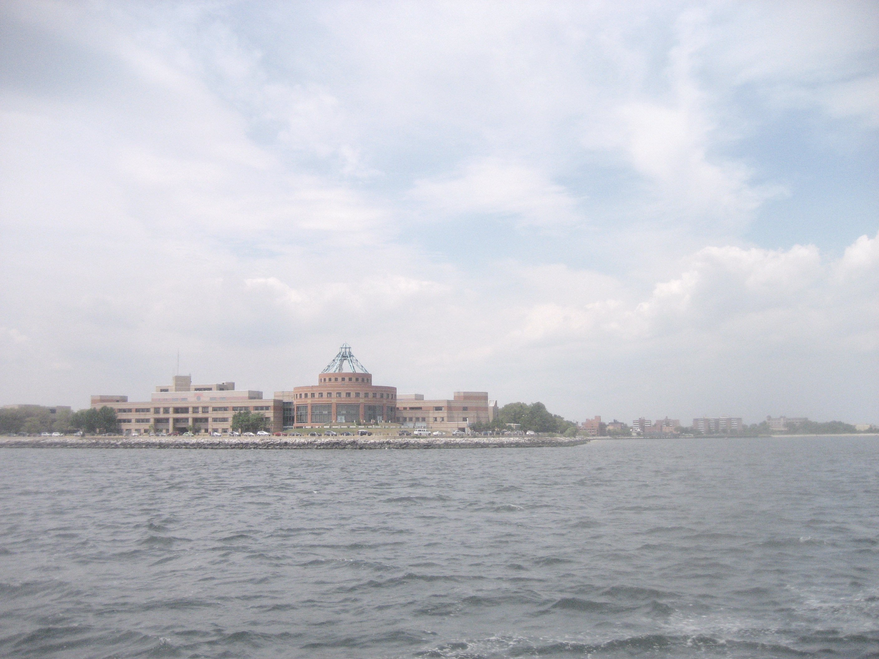
The southeast shore of
Coney Island, seen from the Atlantic. The prominent rotunda of Kingsborough
Community College … was not available as a landmark in 1762. |
|
|
|
|
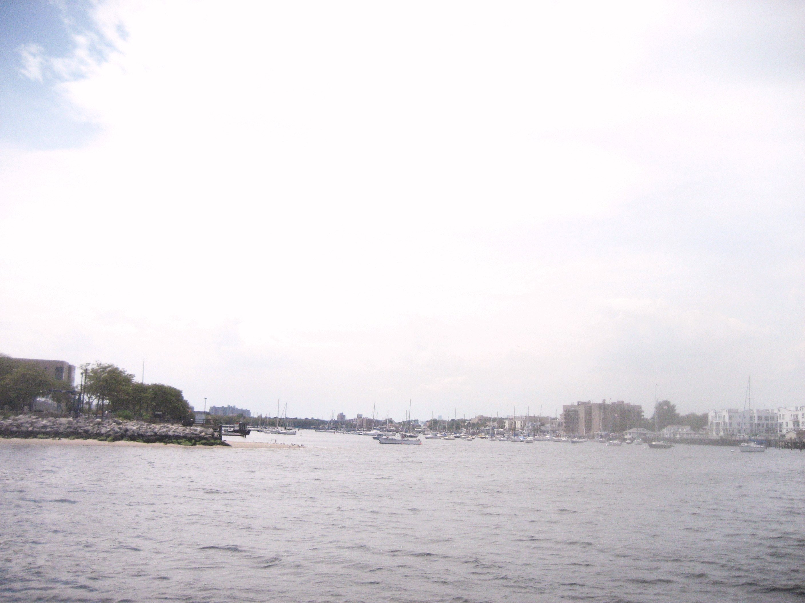
The eastern tip,
with Sheepshead Bay opening on the right. The map of the entire area has
changed radically over the decades and centuries, as hurricanes and ocean
forces have repeatedly rearranged its geography. |
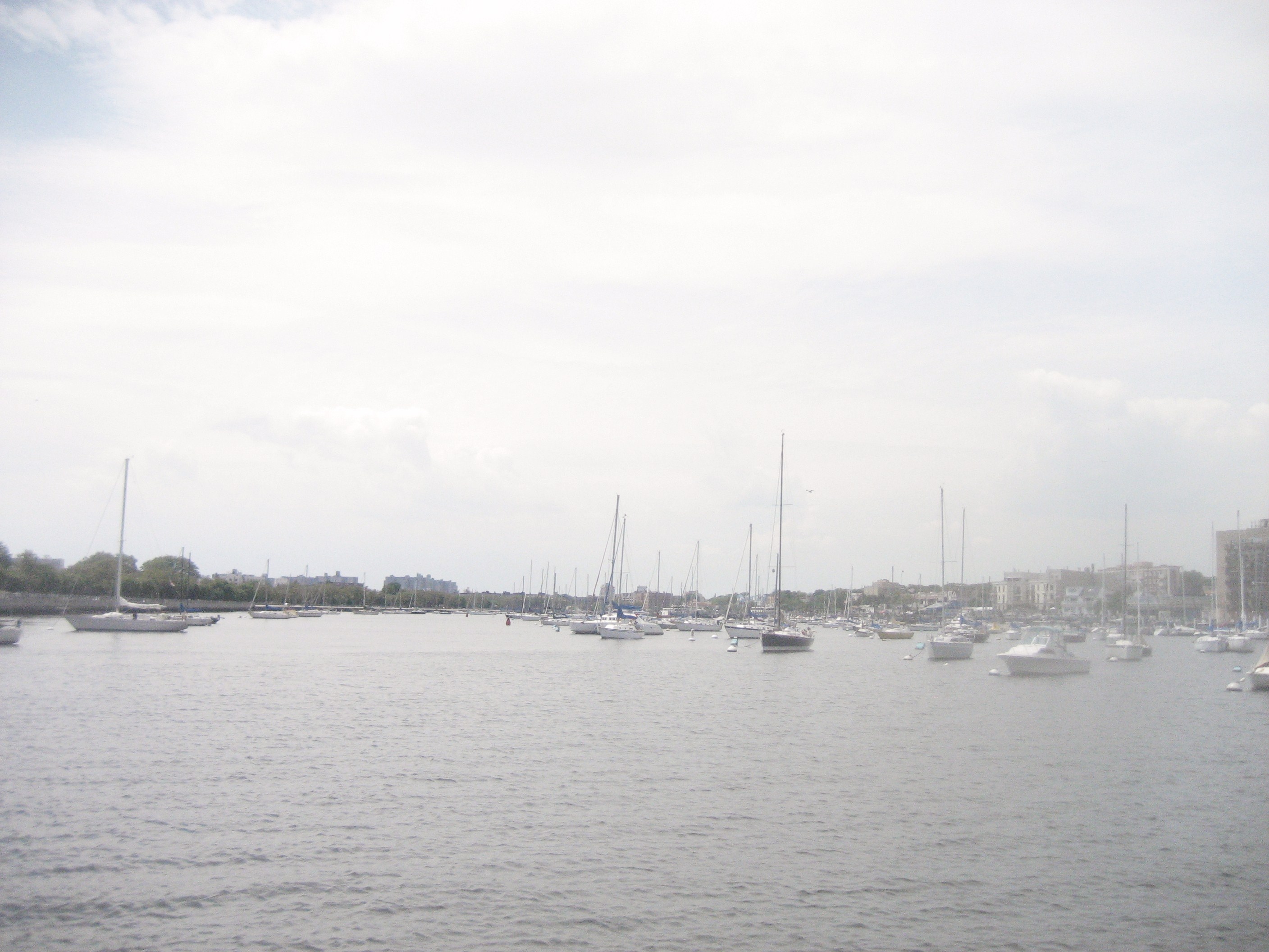
Now famed for its strip
of seafood restaurants, Sheepshead Bay was a favorite of rum-runners in
1920s—and smugglers in the 18th Century. |
|
|
|
|
Sheepshead Bay has
always been a small, shallow-draft harbor, unsuitable for most ocean-going
shipping. But in certain circumstances, a vessel such as the Dorothy C. might stop in here in calm
weather—where the likes of the HMS
Enterprise could not follow! |
Links to contemporary photographs of local scenes:
Notices – Ordering – Author – Contact