GREAT MISCHIEF Locations Today
Most photographs by the author. Satellite
photographs courtesy of Google Maps.
Click on thumbnails for
full-screen view. Links to local scenes
are below.
|
|
|
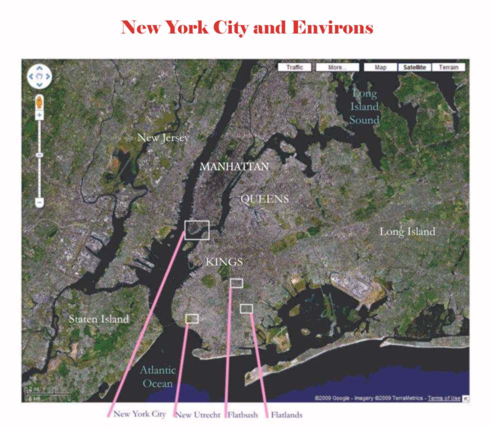
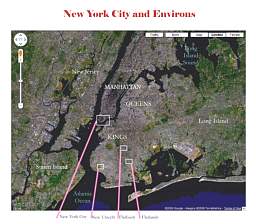
All the
action of the story occurs in the two New York counties now called Brooklyn
and Manhattan.
In 1760 their combined population would have been about 25 thousand; today
it’s over 4.1 million.
|
|
|
|
|
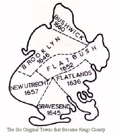
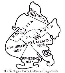
A schematic map showing
the municipalities chartered by the Dutch before the English takeover.
Gravesend was originally populated by English Anabaptists (who made a real
estate deal with the Nyack Indian
tribe); the others were primarily Dutch.
|
|
|
|
|
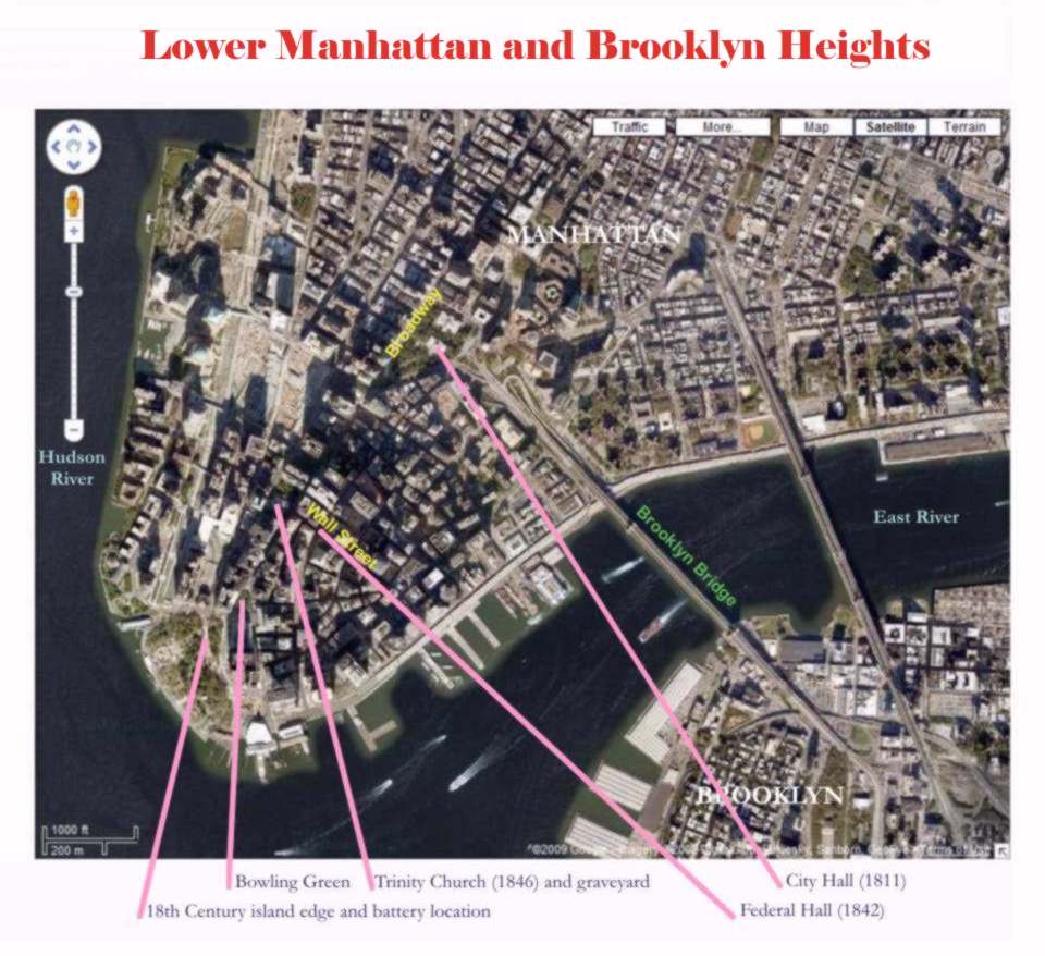
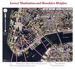
It’s not only
indifference to historical conservation. Virtually all colonial structures
were destroyed by the two major fires of 1776 and 1835. The route of
the Brooklyn ferry of the story was exactly that of the Brooklyn Bridge (1883).
|
|
|
|
|
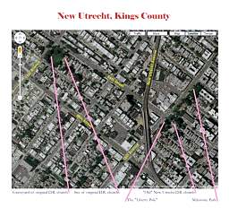
Only by traveling to the
remotest farming sections of eastern Long Island today can one realize what
New Utrecht must have looked like in 1759. It remained a tiny, isolated agricultural
hamlet until very late in the 19th Century.
|
|
|
|
|
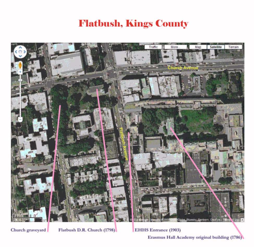
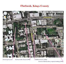
The Dutch Reformed Church
of Flatbush has been located on the same site since 1654. Erasmus Hall High
School was begun there in 1786.
|
|
|
|
|
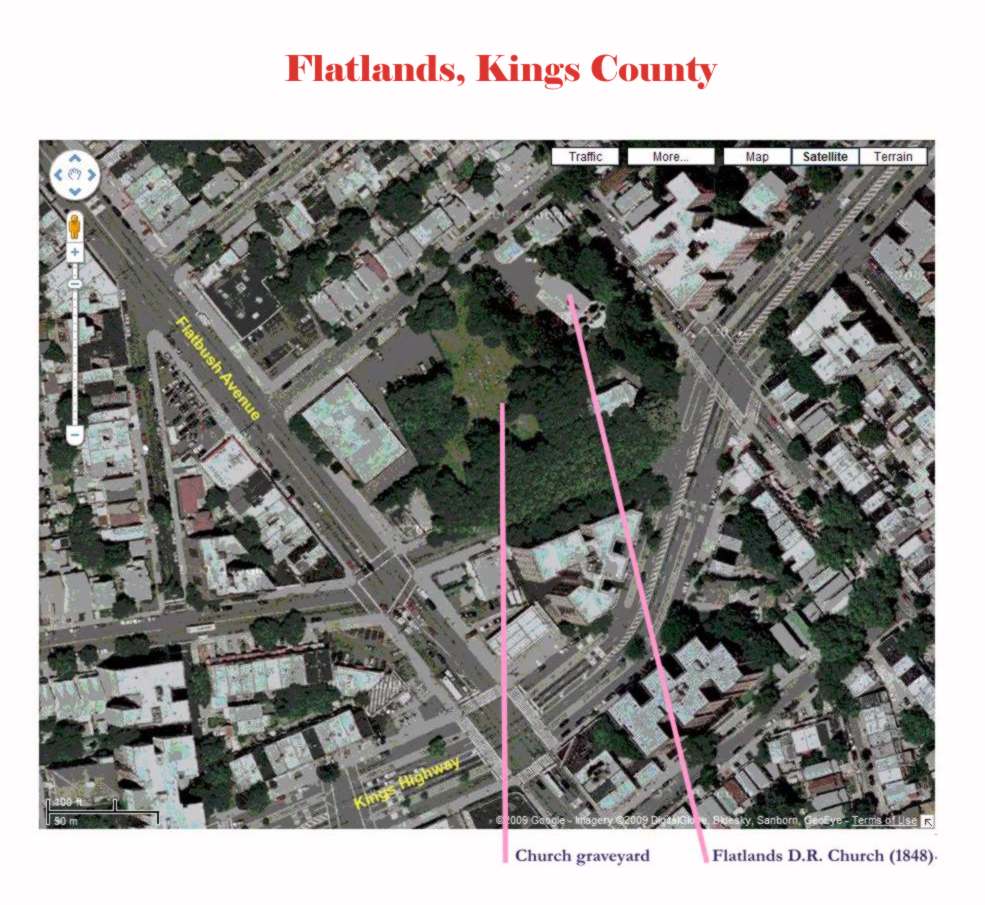
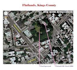
Flatlands was originally
called Nieuw Amersfoort. Probably
the Dutch community of our hero’s era would have still used that, but in
this particular your author took the easy way out.
|
|
Contemporary Scenes from the
Sites of GREAT MISCHIEF:
New Utrecht — Flatbush — Flatlands — New York City
Notices
– Ordering – Author – Contact